

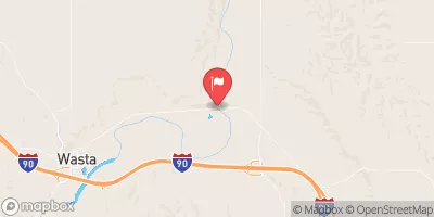
Cheyenne River Near Wasta,Sd Realtime Data
CHEYENNE RIVER NEAR WASTA,SD
Realtime Data • Report • Conditions
61
Discharge (cfs)
0.4
Gauge Height (ft)
Streamflow discharge was last observed at 61 cfs, and a gauge height of 0.40 feet.
With the
% decrease since yesterday,
the streamflow average over the past 10 days is 67 .
Weather today, Tomorrow,
The stream gauge measures the water level, flow rate, and temperature. The Cheyenne River is fed by several tributaries, including Owl Creek, Antelope Creek, and Medicine Root Creek. There are no major dams on the Cheyenne River, but there are several smaller ones that help control the flow of water. The river experiences seasonal trends, with the highest flows occurring during the spring and early summer months due to snowmelt and runoff. The hydrology of the Cheyenne River is an essential aspect of the ecosystem, sustaining wildlife, vegetation, and the economy of the surrounding area.
October 7, 2026
| Elevation | 2,269.0 ft |
| Last Updated | |
| Gage height, ft | 0.4 ft |
| Stream water level elevation above NAVD 1988, in ft | 2262.56 ft |
| Streamflow, ft³/s | 60.9 ft3/s |
| Percent of Normal | 40% |
| Year Over Year Average | 154 cfs |
| 24hr Flow Prediction | cfs |
| Maximum Recorded | 16,600 cfs |
 Continue with Snoflo Premium