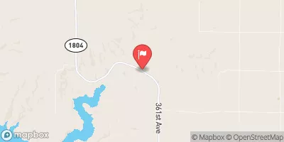
Streamflow discharge was last observed at 0 cfs, and a gauge height of 1.41 feet.
With the
% decrease since yesterday,
the streamflow average over the past 10 days is 0 .
Weather today, Tomorrow,
The Platte Creek is primarily fed by runoff from snowmelt and precipitation, and flows into the Missouri River. There are no major tributaries or dams along the creek. The flow of the creek tends to be highest in the spring and early summer due to snowmelt and lower in the fall and winter months. Interesting facts about the hydrology of the Platte Creek include possible impacts from agricultural practices on water quality and the potential for flash flooding during heavy rain events. Overall, the Platte Creek provides an important source of water for the surrounding region and is closely monitored by hydrologists.
| Elevation | 1,373.0 ft |
| Last Updated | |
| Gage height, ft | 1.41 ft |
| Stream water level elevation above NAVD 1988, in ft | 1362.03 ft |
| Streamflow, ft³/s | 0.22 ft3/s |
| Percent of Normal | 21% |
| Year Over Year Average | 1 cfs |
| 24hr Flow Prediction | cfs |
| Maximum Recorded | 3,570 cfs |
| Geolocation | 43.33, -98.97 |