 Get More With Premium


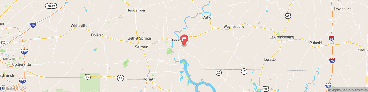
HORSE CREEK NEAR SAVANNAH
USGS 03593800

Today, Showers likely, mainly after 5am. Cloudy, with a low around 59. East wind around 5 mph. Chance of precipitation is 60%. New precipitation amounts of less than a tenth of an inch possible.
Tomorrow, Showers likely, mainly after 5am. Cloudy, with a low around 59. East wind around 5 mph. Chance of precipitation is 60%. New precipitation amounts of less than a tenth of an inch possible.
5-Day Forecast
Long Term Forecast
16-Day Forecast

