Signup for free to access forecast


Continue with a free account

Already Have an Account?


Snoflo Premium

Get unlimited access to all our content

Plus your first week free!

Have a Promo Code?


Already Have an Account?

Signup for a Basic Account


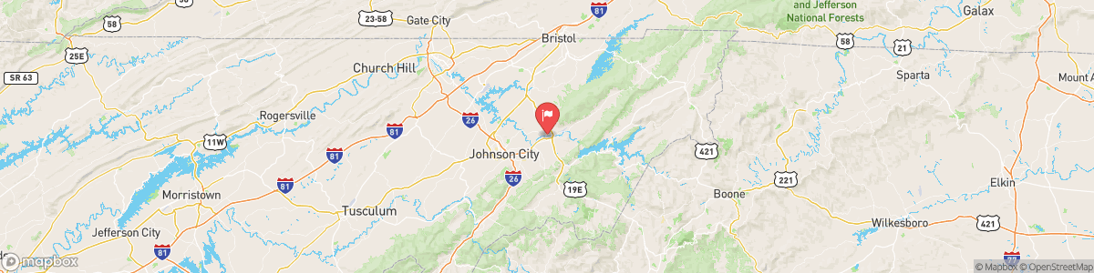
WATAUGA RIVER AT ELIZABETHTON

Weather Forecast


WATAUGA RIVER AT ELIZABETHTON

USGS 03486000


FLOOD ADVISORY
* WHAT...Urban area and small stream flooding caused by excessive rainfall is expected. * WHERE...Central Carter County in east Tennessee... North Central Unicoi County in east Tennessee... Central Washington County in east Tennessee... * WHEN...Until 845 PM EDT. * IMPACTS...Minor flooding in low-lying and poor drainage areas. Water over roadways. Ponding of water in urban or other areas is occurring or is imminent. * ADDITIONAL DETAILS... - At 542 PM EDT, Doppler radar indicated heavy ...

Today, Patchy fog. Otherwise, partly cloudy, with a low around 67. Calm wind.


Tomorrow, Patchy fog. Otherwise, partly cloudy, with a low around 67. Calm wind.


5-Day Forecast


Leave A Review


Submit

Upload an Image


Favorite Limit Reached
OR

Return to the Watauga River At Elizabethton Flow Report