

2026-10-23T01:30:00-06:00
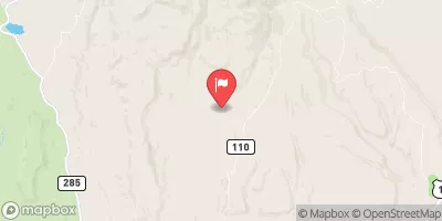
* WHAT...Flooding caused by excessive rainfall continues. * WHERE...Portions of San Juan County in southeastern Utah. * WHEN...Until 130 AM MDT. * IMPACTS...Flooding of rivers, creeks, streams, and other low-lying and flood-prone locations is imminent or occurring. Low-water crossings are inundated with water and may not be passable. * ADDITIONAL DETAILS... - At 1118 PM MDT, Doppler radar and automated rain gauges indicated heavy rain. Flooding is ongoing or expected to begin shortly in the warned area. Between 1 and 3 inches of rain have fallen. - Additional rainfall amounts of 0.5 to 1.5 inches are possible in the warned area. - Some locations that will experience flooding include... Monticello, Mexican Hat, Bluff, Tselakai Dezza, Halchita, Fry Canyon, White Mesa and Goulding. - http://www.weather.gov/safety/flood
 Continue with Snoflo Premium