 Get More With Premium


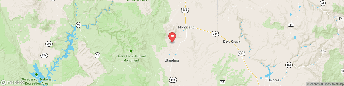
RECAPTURE CREEK NEAR BLANDING
USGS 09378630
FLOOD WARNING
* WHAT...Flooding caused by excessive rainfall continues. * WHERE...Portions of San Juan County in southeastern Utah. * WHEN...Until 330 AM MDT. * IMPACTS...Flooding of rivers, creeks, streams, and other low-lying and flood-prone locations is imminent or occurring. Low-water crossings are inundated with water and may not be passable. * ADDITIONAL DETAILS... - At 118 AM MDT, Doppler radar and automated rain gauges indicated heavy rain. Flooding is ongoing or expected to begin shortly in the ...

Today, Showers and possibly a thunderstorm. Low around 47. East wind around 10 mph. Chance of precipitation is 90%.
Tomorrow, Showers and possibly a thunderstorm. Low around 47. East wind around 10 mph. Chance of precipitation is 90%.
5-Day Forecast
Long Term Forecast
16-Day Forecast