

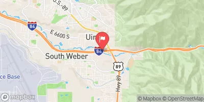
Weber River At I-84 At Uintah Realtime Data
WEBER RIVER AT I-84 AT UINTAH
Realtime Data • Report • Conditions
88
Discharge (cfs)
5.3
Gauge Height (ft)
Streamflow discharge was last observed at 88 cfs, and a gauge height of 5.29 feet.
With the
% decrease since yesterday,
the streamflow average over the past 10 days is 80 .
Weather today, Tomorrow,
The river is fed by snowmelt and rainfall and is primarily a snowmelt-driven system. The flow is influenced by a number of tributaries, including the East and West Forks of the Weber River, the Ogden River, and the Bear River. There are several dams along the river, including Echo, Rockport, and Lost Creek Reservoirs, which can impact flow rates. The river experiences seasonal trends, with peak flows occurring in late May and early June due to snowmelt. The hydrology of the Weber River is interesting in that it provides drinking water for several communities and is used for recreational activities such as fishing and kayaking.
October 23, 2026
| Elevation | 4,521.0 ft |
| Last Updated | |
| Gage height, ft | 5.29 ft |
| Streamflow, ft³/s | 88.4 ft3/s |
| Percent of Normal | 107% |
| Year Over Year Average | 82 cfs |
| 24hr Flow Prediction | cfs |
| Maximum Recorded | 4,020 cfs |
 Continue with Snoflo Premium