

Weber River At Ogden, Utah Realtime Data
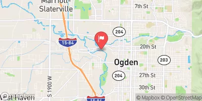
WEBER RIVER AT OGDEN, UTAH
Realtime Data • Report • Conditions
132
Discharge (cfs)
9.5
Gauge Height (ft)
USGS 10137000
Streamflow discharge was last observed at 132 cfs, and a gauge height of 9.47 feet.
With the
% decrease since yesterday,
the streamflow average over the past 10 days is 112 .
Weather today, Tomorrow,
The Weber River is fed by several tributaries, including the East Fork, Middle Fork, and West Fork, and is also regulated by several dams, including the Echo Dam and the Lost Creek Dam. Seasonal trends in flow show a peak during the spring snowmelt and lower flows during the summer and fall. The Weber River is known for its recreational opportunities, including fishing, tubing, and kayaking. Additionally, the river was named after John Henry Weber, who was one of the first trappers to explore the area in the early 1800s.
October 14, 2026
| Elevation | 4,279.0 ft |
| Last Updated | |
| Gage height, ft | 9.47 ft |
| Streamflow, ft³/s | 132.0 ft3/s |
| Percent of Normal | 99% |
| Year Over Year Average | 134 cfs |
| 24hr Flow Prediction | cfs |
| Maximum Recorded | 3,990 cfs |
 Continue with Snoflo Premium