

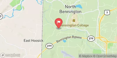
Walloomsac River Near North Bennington, Vt Realtime Data
WALLOOMSAC RIVER NEAR NORTH BENNINGTON, VT
Realtime Data • Report • Conditions
45
Discharge (cfs)
1.4
Gauge Height (ft)
USGS 01334000
Streamflow discharge was last observed at 45 cfs, and a gauge height of 1.37 feet.
With the
% decrease since yesterday,
the streamflow average over the past 10 days is 58 .
Weather today, Tomorrow,
The river is primarily fed by precipitation and snowmelt and flows through North Bennington before emptying into the Hoosic River in New York. There are no major tributaries or dams on this section of the river. During the summer months, the water levels tend to be lower due to decreased precipitation and higher evaporation rates. In the winter, the river can experience ice jams due to freezing temperatures. The Walloomsac River played an important role in the development of North Bennington as a mill town in the 19th century.
October 8, 2026
| Elevation | 535.0 ft |
| Last Updated | |
| Gage height, ft | 1.37 ft |
| Streamflow, ft³/s | 45.1 ft3/s |
| Percent of Normal | 52% |
| Year Over Year Average | 87 cfs |
| 24hr Flow Prediction | cfs |
| Maximum Recorded | 6,250 cfs |
 Continue with Snoflo Premium