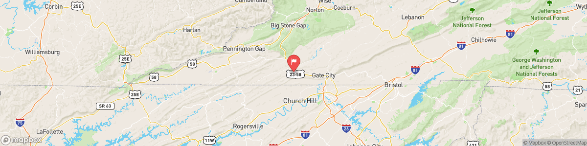
CLINCH RIVER AT SPEERS FERRY
USGS 03527000

FLOOD WATCH
* WHAT...Flash flooding caused by excessive rainfall continues to be possible. * WHERE...Portions of southwest North Carolina, including the following areas, Cherokee and Clay, east Tennessee, including the following areas, Anderson, Bledsoe, Blount Smoky Mountains, Bradley, Campbell, Claiborne, Cocke Smoky Mountains, East Polk, Grainger, Hamblen, Hamilton, Hancock, Hawkins, Jefferson, Johnson, Knox, Loudon, Marion, McMinn, Meigs, Morgan, North Sevier, Northwest Blount, Northwest Carter, Northwest Cocke, Northwest Greene, Northwest Monroe, Rhea, Roane, Scott TN, Sequatchie, Sevier Smoky ...
Today, A slight chance of showers and thunderstorms. Mostly cloudy, with a low around 65. Calm wind. Chance of precipitation is 20%.
Tomorrow, A slight chance of showers and thunderstorms. Mostly cloudy, with a low around 65. Calm wind. Chance of precipitation is 20%.
5-Day Forecast
Long Term Forecast
16-Day Forecast

Get More With Premium