

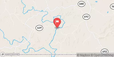
North Mayo River Near Spencer, Va Realtime Data
NORTH MAYO RIVER NEAR SPENCER, VA
Realtime Data • Report • Conditions
47
Discharge (cfs)
1.4
Gauge Height (ft)
USGS 02070000
Streamflow discharge was last observed at 47 cfs, and a gauge height of 1.37 feet.
With the
% decrease since yesterday,
the streamflow average over the past 10 days is 64 .
Weather today, Tomorrow,
The river's flow is primarily provided by rainfall and snowmelt, and its constituents include sediment and dissolved minerals. The river has several tributaries, including the South Mayo River and Little Mayo River. There are no major dams along the river. Seasonal trends show that rainfall during the spring and summer months can significantly increase the river's flow. A quirky fact about the North Mayo River is that it is popular among anglers for its smallmouth bass fishery.
October 23, 2026
| Elevation | 750.0 ft |
| Last Updated | |
| Gage height, ft | 1.37 ft |
| Streamflow, ft³/s | 47.1 ft3/s |
| Percent of Normal | 70% |
| Year Over Year Average | 68 cfs |
| 24hr Flow Prediction | cfs |
| Maximum Recorded | 5,840 cfs |
 Continue with Snoflo Premium