

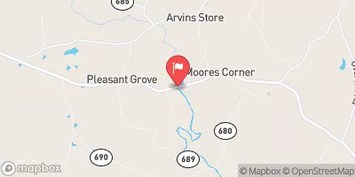
North Meherrin River Near Lunenburg, Va Realtime Data
NORTH MEHERRIN RIVER NEAR LUNENBURG, VA
Realtime Data • Report • Conditions
3
Discharge (cfs)
0.2
Gauge Height (ft)
USGS 02051000
Streamflow discharge was last observed at 3 cfs, and a gauge height of 0.15 feet.
With the
% decrease since yesterday,
the streamflow average over the past 10 days is 4 .
Weather today, Tomorrow,
The river's flow is influenced by precipitation, groundwater, and surface runoff. The North Meherrin River has no major dams or tributaries. The river's flow is typically highest during the spring and lowest during the summer months. Interestingly, the North Meherrin River is known for its diverse fish populations, including several species of bass, catfish, and sunfish. Additionally, there are several public access points along the river, making it a popular spot for fishing and other recreational activities.
October 9, 2026
| Elevation | 375.0 ft |
| Last Updated | |
| Gage height, ft | 0.15 ft |
| Streamflow, ft³/s | 2.63 ft3/s |
| Percent of Normal | 48% |
| Year Over Year Average | 6 cfs |
| 24hr Flow Prediction | cfs |
| Maximum Recorded | 3,830 cfs |
 Continue with Snoflo Premium