

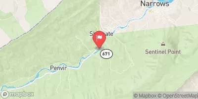
Wolf Creek Near Narrows, Va Realtime Data
WOLF CREEK NEAR NARROWS, VA
Realtime Data • Report • Conditions
69
Discharge (cfs)
2.9
Gauge Height (ft)
Streamflow discharge was last observed at 69 cfs, and a gauge height of 2.93 feet.
With the
% decrease since yesterday,
the streamflow average over the past 10 days is 129 .
Weather today, Tomorrow,
The gauge is operated by the US Geological Survey and provides real-time data on water flow, water temperature, and water quality. The Wolf Creek watershed is primarily composed of forested land, and the primary flow contributors are surface runoff and groundwater. There are no significant tributaries or dams in the immediate vicinity of the stream gauge. Seasonally, the flow is highest in the spring due to snowmelt and precipitation and lowest in the late summer and fall. Interestingly, Wolf Creek is home to a diverse population of aquatic wildlife, including several species of fish, crayfish, and benthic macroinvertebrates.
October 22, 2026
| Elevation | 1,600.0 ft |
| Last Updated | |
| Gage height, ft | 2.93 ft |
| Streamflow, ft³/s | 69.3 ft3/s |
| Percent of Normal | 100% |
| Year Over Year Average | 69 cfs |
| 24hr Flow Prediction | cfs |
| Maximum Recorded | 12,200 cfs |
| Geolocation | 37.31, -80.85 |
 Continue with Snoflo Premium