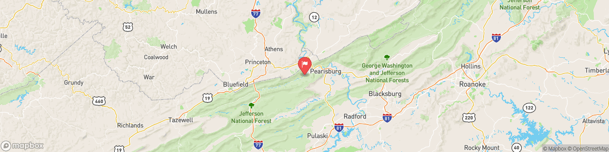
WOLF CREEK NEAR NARROWS
USGS 03175500
FLOOD WATCH
* WHAT...Flooding caused by excessive rainfall continues to be possible. * WHERE...Portions of northwest North Carolina, including the following areas, Alleghany NC, Ashe and Watauga, Virginia, including the following areas, Alleghany VA, Bath, Bland, Botetourt, Carroll, Craig, Floyd, Giles, Grayson, Montgomery, Pulaski, Roanoke, Rockbridge, Smyth, Tazewell and Wythe, and southeast West Virginia, including the following areas, Eastern Greenbrier, Mercer, Monroe, Summers and Western Greenbrier. * WHEN...Through Thursday morning. * IMPACTS...Excessive runoff may result in flooding ...
Today, A slight chance of showers and thunderstorms, then showers and possibly a thunderstorm after 5am. Low around 69. West wind around 6 mph. Chance of precipitation is 80%. New rainfall amounts of less than a tenth of an inch, except higher amounts possible in thunderstorms.
Tomorrow, A slight chance of showers and thunderstorms, then showers and possibly a thunderstorm after 5am. Low around 69. West wind around 6 mph. Chance of precipitation is 80%. New rainfall amounts of less than a tenth of an inch, except higher amounts possible in thunderstorms.
5-Day Forecast
Long Term Forecast
16-Day Forecast
Get More With Premium