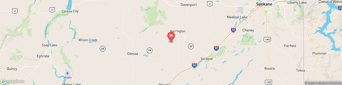
COAL CREEK AT MOHLER
USGS 12464800
RED FLAG WARNING
...THUNDERSTORMS, GUSTY WINDS, AND LOW RELATIVE HUMIDITY SATURDAY INTO SUNDAY... .A cold front will move through the region Saturday into Sunday, bringing a risk for thunderstorms and strong west to southwest winds. This will lead to critical fire weather conditions across the region. * Affected Area: Foothills of Northeast Washington (Zone 701) and Eastern Columbia Basin -Palouse -Spokane Area (Zone 708). * Winds: Southwest 10 to 20 mph with gusts up to 30 mph. * ...
Today, Widespread haze after 3am. Areas of smoke before 3am. Partly cloudy, with a low around 54. South wind around 10 mph.
Tomorrow, Widespread haze after 3am. Areas of smoke before 3am. Partly cloudy, with a low around 54. South wind around 10 mph.
5-Day Forecast
Long Term Forecast
16-Day Forecast

Get More With Premium