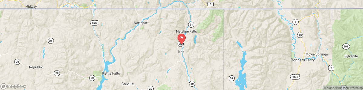
PEND OREILLE RIVER BELOW BOX CANYON NEAR IONE
USGS 12396500

RED FLAG WARNING
...THUNDERSTORMS, GUSTY WINDS, AND LOW RELATIVE HUMIDITY SATURDAY INTO SUNDAY... .A cold front will move through the region Saturday into Sunday, bringing a risk for thunderstorms and strong west to southwest winds. This will lead to critical fire weather conditions across the region. * Affected Area: Northern and Central Idaho Panhandle (Zone 101) and Selkirk Mountains of Northeast Washington (Zone 700). * Thunderstorms: Scattered showers and thunderstorms Saturday afternoon through Sunday morning. * Outflow Winds: ...
Today, Widespread haze. Patchy smoke. Cloudy, with a low around 63. Calm wind.
Tomorrow, Widespread haze. Patchy smoke. Cloudy, with a low around 63. Calm wind.
5-Day Forecast
Long Term Forecast
16-Day Forecast

Get More With Premium