

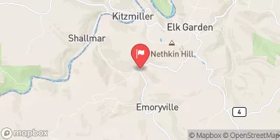
Abram Creek At Oakmont, Wv Realtime Data
ABRAM CREEK AT OAKMONT, WV
Realtime Data • Report • Conditions
78
Discharge (cfs)
3.4
Gauge Height (ft)
USGS 01595300
Streamflow discharge was last observed at 78 cfs, and a gauge height of 3.39 feet.
With the
% decrease since yesterday,
the streamflow average over the past 10 days is 74 .
Weather today, Tomorrow,
The creek's flow is primarily supplied by precipitation, runoff, and groundwater. The monitoring station is located downstream of a dam and a few small tributaries, which can impact the flow rate. Seasonal trends show the highest flow rates occurring in spring due to snowmelt and rain, while the lowest flow rates occur during the summer months when precipitation is scarce. Interestingly, Abram Creek has a history of flooding, and the stream gauge is used to provide flood warnings and help prevent damage to local communities.
October 15, 2026
| Elevation | 1,846.0 ft |
| Last Updated | |
| Gage height, ft | 3.39 ft |
| Streamflow, ft³/s | 78.3 ft3/s |
| Percent of Normal | 505% |
| Year Over Year Average | 16 cfs |
| 24hr Flow Prediction | cfs |
| Maximum Recorded | 1,730 cfs |
| Geolocation | 39.37, -79.18 |
 Continue with Snoflo Premium