

Big Sandy Creek At Rockville, Wv Realtime Data
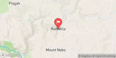
BIG SANDY CREEK AT ROCKVILLE, WV
Realtime Data • Report • Conditions
59
Discharge (cfs)
3.8
Gauge Height (ft)
USGS 03070500
Streamflow discharge was last observed at 59 cfs, and a gauge height of 3.81 feet.
With the
% decrease since yesterday,
the streamflow average over the past 10 days is 100 .
Weather today, Tomorrow,
The creek has several tributaries, including Middle Fork, Little Fork, and Buckhorn Creek, and is impounded by the John W. Amos Dam. Seasonal trends show lower flows in the summer and higher flows in the winter and spring due to increased precipitation and snowmelt. One interesting fact about the hydrology of the creek is that it was once used for logging and transportation, and remnants of old log structures can still be found along the banks.
October 6, 2026
| Elevation | 1,338.0 ft |
| Last Updated | |
| Gage height, ft | 3.81 ft |
| Stream water level elevation above NAVD 1988, in ft | 1326.21 ft |
| Streamflow, ft³/s | 59.4 ft3/s |
| Percent of Normal | 227% |
| Year Over Year Average | 26 cfs |
| 24hr Flow Prediction | cfs |
| Maximum Recorded | 6,850 cfs |
| Geolocation | 39.62, -79.71 |
 Continue with Snoflo Premium