

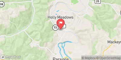
Cheat River Near Parsons, Wv Realtime Data
CHEAT RIVER NEAR PARSONS, WV
Realtime Data • Report • Conditions
1,170
Discharge (cfs)
4.2
Gauge Height (ft)
Streamflow discharge was last observed at 1,170 cfs, and a gauge height of 4.18 feet.
With the
% decrease since yesterday,
the streamflow average over the past 10 days is 3,322 .
Weather today, Tomorrow,
Its flow is largely influenced by precipitation, melting snow, and runoff from surrounding land. Several tributaries, such as the Shavers Fork River, also contribute to the river's flow. Along the river, there are several dams, including the Big Sandy Dam and the Cheat River Dam. The river experiences seasonal trends, with high flows in the spring and lower flows in the summer and fall. One interesting fact is that the river's name comes from early settlers who cheated Native Americans out of land in the area. Overall, the Cheat River is an important and interesting hydrological feature in the region.
October 23, 2026
| Elevation | 1,593.0 ft |
| Last Updated | |
| Gage height, ft | 4.18 ft |
| Precipitation, total, in | 0.0 in |
| Temperature, water, °C | 9.0 deg C |
| Streamflow, ft³/s | 1170.0 ft3/s |
| Percent of Normal | 383% |
| Year Over Year Average | 305 cfs |
| 24hr Flow Prediction | cfs |
| Maximum Recorded | 31,600 cfs |
 Continue with Snoflo Premium