

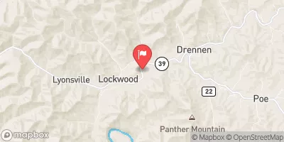
Peters Creek Near Lockwood, Wv Realtime Data
PETERS CREEK NEAR LOCKWOOD, WV
Realtime Data • Report • Conditions
64
Discharge (cfs)
5.8
Gauge Height (ft)
Streamflow discharge was last observed at 64 cfs, and a gauge height of 5.80 feet.
With the
% decrease since yesterday,
the streamflow average over the past 10 days is 78 .
Weather today, Tomorrow,
The primary contributors to the flow are precipitation and runoff, as well as potential tributaries and dams in the area. Seasonally, the stream flow tends to be highest during the spring due to increased precipitation and snowmelt. Interestingly, the Peters Creek flows through the heart of the coal mining region of southern West Virginia and has been impacted by mining activities, leading to concerns about water quality. Overall, the hydrology of Peters Creek is complex and influenced by various factors, including human activities, making it an interesting case study for students studying hydrology or environmental science.
October 14, 2026
| Elevation | 1,073.0 ft |
| Last Updated | |
| Gage height, ft | 5.8 ft |
| Streamflow, ft³/s | 63.9 ft3/s |
| Percent of Normal | 580% |
| Year Over Year Average | 11 cfs |
| 24hr Flow Prediction | cfs |
| Maximum Recorded | 3,810 cfs |
| Geolocation | 38.26, -81.02 |
 Continue with Snoflo Premium