

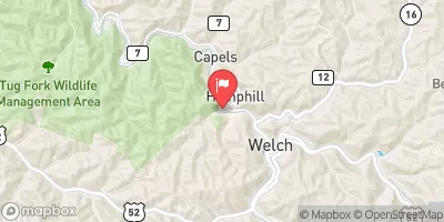
Tug Fork At Welch, W. Va. Realtime Data
TUG FORK AT WELCH, W. VA.
Realtime Data • Report • Conditions
72
Discharge (cfs)
3.1
Gauge Height (ft)
USGS 03212750
Streamflow discharge was last observed at 72 cfs, and a gauge height of 3.07 feet.
With the
% decrease since yesterday,
the streamflow average over the past 10 days is 111 .
Weather today, Tomorrow,
The Tug Fork is fed by several smaller tributaries, including the Levisa Fork and the Pound River. The hydrology of the area is influenced by seasonal trends, with higher flows in the spring due to snowmelt and rainfall. The Tug Fork also passes through several dams, including the Matewan Dam, which can impact flow conditions. Interestingly, the Tug Fork River was the site of the Hatfield-McCoy feud in the late 1800s, and the famous Devil Anse Hatfield had a log cabin near the stream gauge location.
October 23, 2026
| Elevation | 1,283.0 ft |
| Last Updated | |
| Gage height, ft | 3.07 ft |
| Streamflow, ft³/s | 72.4 ft3/s |
| Precipitation, total, in | 0.0 in |
| Percent of Normal | 124% |
| Year Over Year Average | 58 cfs |
| 24hr Flow Prediction | cfs |
| Maximum Recorded | 10,700 cfs |
| Geolocation | 37.44, -81.60 |
 Continue with Snoflo Premium