

Williams River At Dyer, Wv Realtime Data
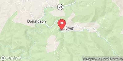
WILLIAMS RIVER AT DYER, WV
Realtime Data • Report • Conditions
213
Discharge (cfs)
2.1
Gauge Height (ft)
Streamflow discharge was last observed at 213 cfs, and a gauge height of 2.13 feet.
With the
% decrease since yesterday,
the streamflow average over the past 10 days is 612 .
Weather today, Tomorrow,
The river is fed by several tributaries, including the Cranberry and Tea creeks, and is influenced by the construction of the Tea Creek Dam. Seasonal trends show that the river has high flow during the spring and summer months but can experience periods of low flow during the fall and winter. Interestingly, the Williams River is known for its excellent trout fishing opportunities and is even home to the West Virginia state record for brown trout. Overall, the Williams River at Dyer, WV stream gauge provides valuable information about the hydrology of the region and supports recreational activities like fishing.
October 22, 2026
| Elevation | 2,198.0 ft |
| Last Updated | |
| Gage height, ft | 2.13 ft |
| Streamflow, ft³/s | 213.0 ft3/s |
| Percent of Normal | 346% |
| Year Over Year Average | 62 cfs |
| 24hr Flow Prediction | cfs |
| Maximum Recorded | 13,300 cfs |
 Continue with Snoflo Premium