

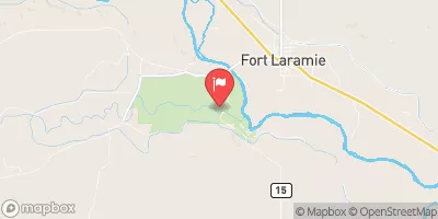
Laramie River Near Fort Laramie, Wy Realtime Data
LARAMIE RIVER NEAR FORT LARAMIE, WY
Realtime Data • Report • Conditions
24
Discharge (cfs)
2.1
Gauge Height (ft)
Streamflow discharge was last observed at 24 cfs, and a gauge height of 2.09 feet.
With the
% decrease since yesterday,
the streamflow average over the past 10 days is 21 .
Weather today, Tomorrow,
The river's flow is primarily contributed by snowmelt, precipitation, and groundwater discharge from surrounding aquifers. There are several potential tributaries, including the Rawhide Creek, that may impact flow. The river experiences seasonal trends, with peak flows occurring in late spring and early summer due to snowmelt. Interestingly, the Laramie River has a history of being diverted and dammed for irrigation and hydropower purposes. Today, efforts are underway to restore the river's natural flow patterns and improve its ecological health.
October 17, 2026
| Elevation | 4,226.0 ft |
| Last Updated | |
| Gage height, ft | 2.09 ft |
| Streamflow, ft³/s | 24.4 ft3/s |
| Specific conductance, water, unfiltered, microsiemens per centimeter at 25°C | 641.0 uS/cm @25C |
| Dissolved oxygen, water, unfiltered, mg/L | 9.7 mg/l |
| pH, water, unfiltered, field, standard units | 8.2 std units |
| Temperature, water, degC | 7.6 deg C |
| Percent of Normal | 55% |
| Year Over Year Average | 45 cfs |
| 24hr Flow Prediction | cfs |
| Maximum Recorded | 9,950 cfs |
 Continue with Snoflo Premium