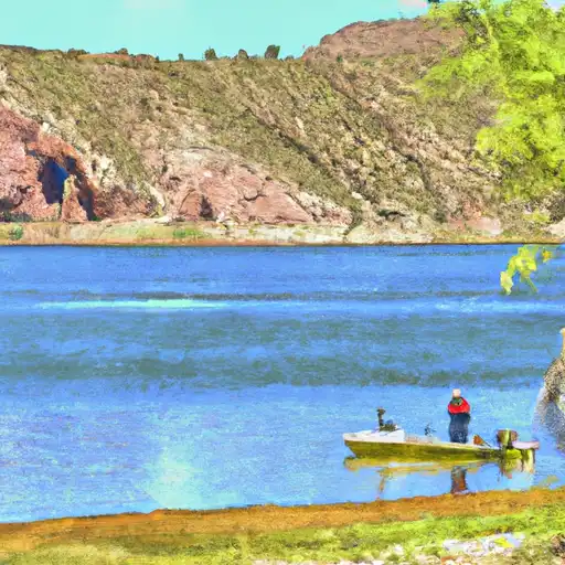
Bartlett Reservoir At Bartlett Dam Reservoir
As of August 2, 2026, Bartlett Reservoir At Bartlett Dam is holding 134,000 ac-ft of water — 74589% of normal storage for this date. Storage data refreshed throughout the day.

Bartlett Reservoir At Bartlett Dam
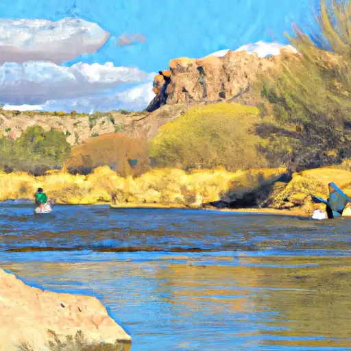
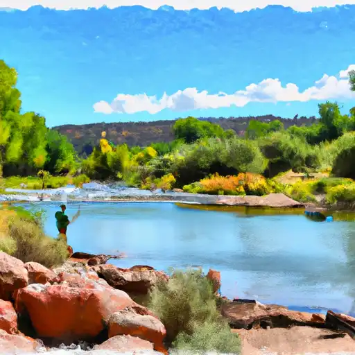
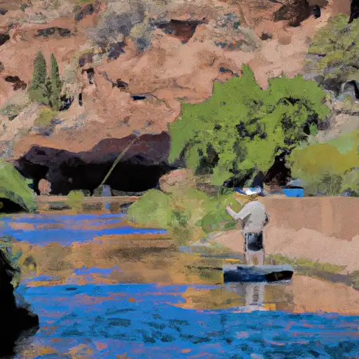
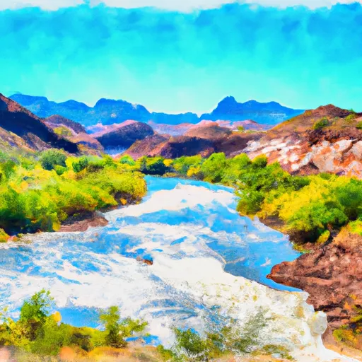
Bartlett Reservoir is located on the Verde River, in the Tonto National Forest, Arizona. It was created by the construction of the Bartlett Dam in 1939. Hydrologically, the reservoir is fed by the Verde River, which originates in the Prescott National Forest, and by several tributaries. The surface flow in the area is highly variable and depends on precipitation patterns. The snowpack in winter contributes significantly to the water resources in the area. The reservoir serves as a vital source of water for agricultural purposes and as a recreational spot for water sports, such as boating, fishing, and swimming. The surrounding area is also popular for camping, hiking, and wildlife watching.
Daily levels at Bartlett Reservoir At Bartlett Dam
Storage volume, pool elevation, and total release plotted from the operating agency's daily observations.
Reservoir storage, acre-ft
ac-ft · code 00054
Gage height, ft
ft · code 00065
Plan around the weather
Same NOAA / yr.no feed Snoflo's iOS app uses. Watch the precipitation column on the meteogram -- rain on the basin upstream typically lifts inflow 24-72 hours later.
Next 5 days, hour by hour
Temperature line with weather symbols on top, snow + rain accumulation as columns, humidity as a dotted line.
5-day forecast table
Every 3 hours, broken out across temperature, snow, rain, humidity, and wind. Each cell is colour-coded relative to the column min/max.
| Time | Condition | Temp (°F) | Snow (in) | Rain (in) | Humidity (%) | Wind (mps) | Wind dir |
|---|---|---|---|---|---|---|---|
| Loading detailed forecast… | |||||||
15-day temperature & precipitation
Daily temperatures, snow, and rain projected over the next two weeks.
Nearby streamflow gauges
USGS streamgauges around Bartlett Reservoir At Bartlett Dam -- inflows here typically show up in storage 24-72 hours later.
| Streamgauge | Discharge | View |
|---|---|---|
| Verde River Blw Bartlett Dam | 200 cfs | → |
| Sycamore Creek Near Fort Mcdowell | 319 cfs | → |
| Verde River Near Scottsdale | 116 cfs | → |
| Verde R Blw Tangle Creek | 156 cfs | → |
| Salt River Blw Stewart Mountain Dam | 560 cfs | → |
| Cave Creek Blw Cottonwood Cr Near Cave Creek | · | → |
Make a day of it
Boat launches, lakeside camping, fishing access, and other reservoirs near Bartlett Reservoir At Bartlett Dam.
Boat launches
See all →![Boat Launch Road [Fsr 185] Maricopa County](/static/images/ramps/boat-launch-road-fsr-185-maricopa-county.webp)


Campgrounds
See all →


Fishing spots
See all →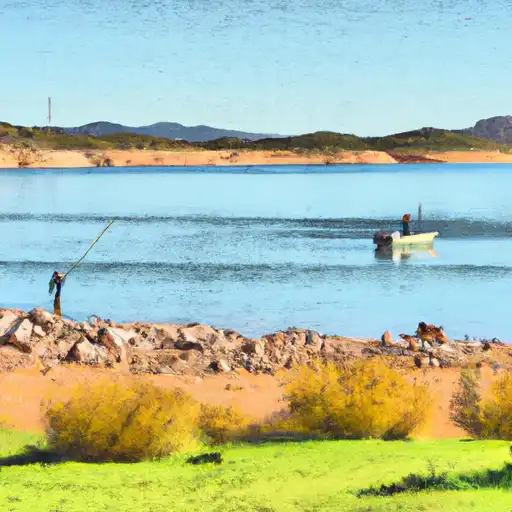

River runs
See all →


About Bartlett Reservoir At Bartlett Dam
What is the water level at Bartlett Reservoir At Bartlett Dam Reservoir right now?
As of August 2, 2026, Bartlett Reservoir At Bartlett Dam Reservoir is holding 134,000 ac-ft, about 74589% of normal for this date. Pool elevation and the year-over-year trend are shown above.
Is Bartlett Reservoir At Bartlett Dam Reservoir high or low right now?
Compare the percent-of-normal figure on this page: above 100% means storage is higher than the historical average for the date (a wet year), below 100% means lower (a dry year or drought). The daily-levels chart shows the current trend.
Where does the data for Bartlett Reservoir At Bartlett Dam come from?
Daily storage, pool elevation, and release rates are sourced from USGS, USBR, and USACE monitoring stations. Weather forecast comes from NOAA / yr.no -- the same feed Snoflo's iOS app uses.
How often is the report updated?
Storage observations are updated daily by the operating agency. The 15-day weather forecast refreshes throughout the day. Snoflo caches and renders the most recent observation -- check the "as of" timestamp on the storage card.
What does the Hazard hazard rating mean?
The Corps of Engineers' hazard potential classification grades probable consequences if the dam fails: High = probable loss of human life; Significant = no probable loss of human life but possible economic loss / environmental damage; Low = no probable loss of human life, only minor economic / environmental losses. See the Dam Data Reference card below for the full definitions.
What's "% of normal"?
The current storage value compared to the historical average storage on this calendar day. 100% = right on average; values above 100% mean above-normal storage (wet year); values below mean below-normal (dry year or drought).
Can I get alerts when storage crosses a threshold?
Yes -- alerts are managed in the Snoflo iOS app. Favorite this reservoir, set a threshold, and you'll get a push the moment conditions cross.