Horseshoe Reservoir At Horseshoe Dam Reservoir
As of July 17, 2026, Horseshoe Reservoir At Horseshoe Dam is holding 34,860 ac-ft of water — 38090% of normal storage for this date. Storage data refreshed throughout the day.

Horseshoe Reservoir At Horseshoe Dam
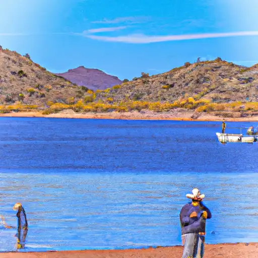
Horseshoe Reservoir is located in central Arizona, formed by the Horseshoe Dam on the Verde River. The dam was constructed in 1944 for hydroelectric power and irrigation purposes. The reservoir has a storage capacity of 209,000 acre-feet and is primarily fed by snowmelt and runoff from the surrounding mountains. The reservoir provides water for irrigation, recreation, and fish and wildlife habitat. The area surrounding Horseshoe Reservoir is popular for camping, boating, fishing, and hiking. The reservoir is also an important source of water for nearby cities and towns, including Phoenix. The surface flow of the reservoir is primarily provided by the Verde River, while snowpack from the surrounding mountains contributes to the reservoir's water supply. Horseshoe Reservoir is a valuable resource for the region's agricultural and recreational needs.
Daily levels at Horseshoe Reservoir At Horseshoe Dam
Storage volume, pool elevation, and total release plotted from the operating agency's daily observations.
Reservoir storage, acre-ft
ac-ft · code 00054
Gage height, ft
ft · code 00065
Plan around the weather
Same NOAA / yr.no feed Snoflo's iOS app uses. Watch the precipitation column on the meteogram -- rain on the basin upstream typically lifts inflow 24-72 hours later.
Next 5 days, hour by hour
Temperature line with weather symbols on top, snow + rain accumulation as columns, humidity as a dotted line.
5-day forecast table
Every 3 hours, broken out across temperature, snow, rain, humidity, and wind. Each cell is colour-coded relative to the column min/max.
| Time | Condition | Temp (°F) | Snow (in) | Rain (in) | Humidity (%) | Wind (mps) | Wind dir |
|---|---|---|---|---|---|---|---|
| Loading detailed forecast… | |||||||
15-day temperature & precipitation
Daily temperatures, snow, and rain projected over the next two weeks.
Nearby streamflow gauges
USGS streamgauges around Horseshoe Reservoir At Horseshoe Dam -- inflows here typically show up in storage 24-72 hours later.
| Streamgauge | Discharge | View |
|---|---|---|
| Verde R Blw Tangle Creek | 120 cfs | → |
| Wet Bottom Creek Near Childs | · | → |
| Verde River Blw Bartlett Dam | 161 cfs | → |
| Cave Creek Blw Cottonwood Cr Near Cave Creek | · | → |
| East Verde River Near Childs | · | → |
| New River Near Rock Springs | · | → |


![Boat Launch Road [Fsr 185] Maricopa County](/static/images/ramps/boat-launch-road-fsr-185-maricopa-county.webp)


About Horseshoe Reservoir At Horseshoe Dam
Where does the data for Horseshoe Reservoir At Horseshoe Dam come from?
Daily storage, pool elevation, and release rates are sourced from USGS, USBR, and USACE monitoring stations. Weather forecast comes from NOAA / yr.no -- the same feed Snoflo's iOS app uses.
How often is the report updated?
Storage observations are updated daily by the operating agency. The 15-day weather forecast refreshes throughout the day. Snoflo caches and renders the most recent observation -- check the "as of" timestamp on the storage card.
What does the Hazard hazard rating mean?
The Corps of Engineers' hazard potential classification grades probable consequences if the dam fails: High = probable loss of human life; Significant = no probable loss of human life but possible economic loss / environmental damage; Low = no probable loss of human life, only minor economic / environmental losses. See the Dam Data Reference card below for the full definitions.
What's "% of normal"?
The current storage value compared to the historical average storage on this calendar day. 100% = right on average; values above 100% mean above-normal storage (wet year); values below mean below-normal (dry year or drought).
Can I get alerts when storage crosses a threshold?
Yes -- alerts are managed in the Snoflo iOS app. Favorite this reservoir, set a threshold, and you'll get a push the moment conditions cross.