LOWER VERDE

LOWER VERDE

River Runs Kayaking Whitewater


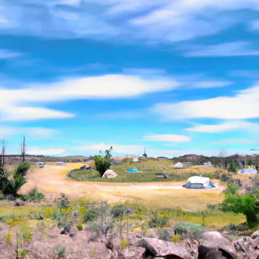
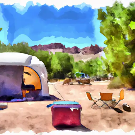
The Lower Verde River run is a Class I-II float in Arizona, suitable for beginners or families with young children. The best time to float is between October and May, with recommended flows of 200-500 cfs. The river features several small riffles and rapids, but no major obstacles. The scenery along the 11-mile stretch varies from desert landscapes to lush riparian zones. The river can be crowded on weekends, but weekdays are less busy. Overall, this is a pleasant and relaxing float suitable for anyone looking for a mellow day on the water.

Realtime River Levels

Verde River Blw Bartlett Dam
USGS 09510000
snowpack density image
Air Quality Alert
Until 2024-07-26T21:00:00-07:00 National Weather Service
AQAPSR The Arizona Department of Environmental Quality (ADEQ) has extended an Ozone High Pollution Advisory for the Phoenix Metro Area through Friday. This means that forecast weather conditions combined with existing ozone levels are expected to result in local maximum 8-hour ozone concentrations that pose a health risk. Adverse health effects increase as air quality deteriorates. Ozone is an air contaminant which can cause breathing difficulties for children, older adults, as well as persons with respiratory problems. A decrease in physical activity is recommended. You are urged to car pool, telecommute or use mass transit. The use of gasoline-powered equipment should be reduced or done late in the day. For details on this High Pollution Advisory, visit the ADEQ internet site at www.azdeq.gov/forecast/phoenix or call 602-771-2300.

July 26, 2024

°F

°F

mph

Windspeed

%

Humidity

Last Updated 2023-06-13
River Levels 127 cfs (1.02 ft)
Percent of Normal 147%
Optimal Range 300-2000 cfs
Status Too Low
Class Level I to II
Elevation 1,586 ft
Run Length 19.0 Mi
Streamflow Discharge 122 cfs
Gauge Height 1.4 ft
Reporting Streamgage Verde River Blw Bartlett Dam
USGS 09510000

Regional Streamflow

622

Cubic Feet Per Second

0

Cubic Feet Per Second

80

Cubic Feet Per Second

1090

Cubic Feet Per Second

Explore the Interactive Map

View recreational hotspots like fishing, camping, and parks, alongside climate-related data such as river levels, snowpack, and weather forecasts. Enjoy 3D mapping for an immersive experience, and switch to satellite view for a detailed look at your favorite spots. Simply click, explore, and discover nature like never before!

5-Day Weather Forecast

16-Day Weather Forecast

Explore Nearby Places

Wilderness West Clear Creek


Wilderness West Clear Creek is a stunning natural area located in the state of Arizona, known for its breathtaking landscapes, diverse wildlife, and recreational opportunities. Here is a summary of the area, including reasons to visit, points of interest, interesting facts, and the best time to visit, verified across multiple independent sources. Reasons to Visit: 1. Scenic Beauty: Wilderness West Clear Creek offers picturesque scenery, with its crystal-clear water, lush vegetation, towering cliffs, and stunning canyons. It is a perfect destination for nature lovers, hikers, and photographers. 2. Hiking and Backpacking: The area provides numerous hiking trails and backpacking routes, ...