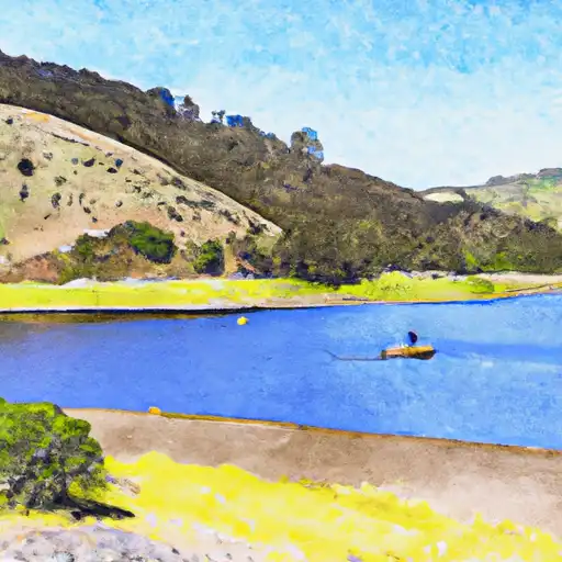
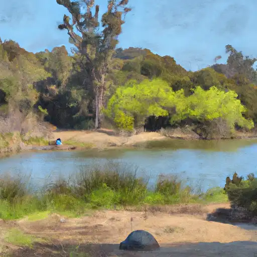
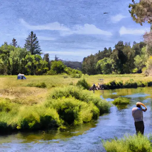
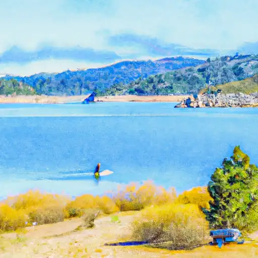
Butt Valley reservoir
As of July 14, 2026, Butt Valley is holding 36,879 acre-ft of water — 89% of normal storage for this date. Storage data refreshed throughout the day.

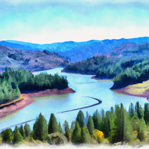
Butt Valley
Butt Valley is a reservoir located in Plumas County, California. The lake was created in 1921 when the Butt Valley Dam was built on the North Fork Feather River. The hydrology of the area is controlled by the dam, which is managed by the Pacific Gas and Electric Company. The North Fork Feather River, as well as several smaller streams, provide surface flow to the reservoir. The area receives significant snowfall during the winter months, with snowpack from the surrounding mountains contributing to the water supply. Agriculture is not a significant industry in the area, but the lake is a popular destination for recreational activities such as fishing, boating, and camping.
Daily levels at Butt Valley
Storage volume, pool elevation, and total release plotted from the operating agency's daily observations.
Storage
acre-ft · code 2
Pool Elevation
ft · code 1
Plan around the weather
Same NOAA / yr.no feed Snoflo's iOS app uses. Watch the precipitation column on the meteogram -- rain on the basin upstream typically lifts inflow 24-72 hours later.
Next 5 days, hour by hour
Temperature line with weather symbols on top, snow + rain accumulation as columns, humidity as a dotted line.
5-day forecast table
Every 3 hours, broken out across temperature, snow, rain, humidity, and wind. Each cell is colour-coded relative to the column min/max.
| Time | Condition | Temp (°F) | Snow (in) | Rain (in) | Humidity (%) | Wind (mps) | Wind dir |
|---|---|---|---|---|---|---|---|
| Loading detailed forecast… | |||||||
15-day temperature & precipitation
Daily temperatures, snow, and rain projected over the next two weeks.
Nearby streamflow gauges
USGS streamgauges around Butt Valley -- inflows here typically show up in storage 24-72 hours later.
| Streamgauge | Discharge | View |
|---|---|---|
| Spanish C Ab Blackhawk C At Keddie Ca | 39 cfs | → |
| Spanish C A Quincy Ca | 20 cfs | → |
| Hat C Nr Hat Creek Ca | 130 cfs | → |
| Butte C Nr Chico Ca | 164 cfs | → |
| Deer C Nr Vina Ca | 108 cfs | → |
| N Yuba R Bl Goodyears Bar Ca | 175 cfs | → |


About Butt Valley
Where does the data for Butt Valley come from?
Daily storage, pool elevation, and release rates are sourced from USGS, USBR, and USACE monitoring stations. Weather forecast comes from NOAA / yr.no -- the same feed Snoflo's iOS app uses.
How often is the report updated?
Storage observations are updated daily by the operating agency. The 15-day weather forecast refreshes throughout the day. Snoflo caches and renders the most recent observation -- check the "as of" timestamp on the storage card.
What does the Hazard hazard rating mean?
The Corps of Engineers' hazard potential classification grades probable consequences if the dam fails: High = probable loss of human life; Significant = no probable loss of human life but possible economic loss / environmental damage; Low = no probable loss of human life, only minor economic / environmental losses. See the Dam Data Reference card below for the full definitions.
What's "% of normal"?
The current storage value compared to the historical average storage on this calendar day. 100% = right on average; values above 100% mean above-normal storage (wet year); values below mean below-normal (dry year or drought).
Can I get alerts when storage crosses a threshold?
Yes -- alerts are managed in the Snoflo iOS app. Favorite this reservoir, set a threshold, and you'll get a push the moment conditions cross.