Keswick Reservoir reservoir
As of July 15, 2026, Keswick Reservoir is holding 21,398 acre-ft of water — 100% of normal storage for this date. Storage data refreshed throughout the day.

Keswick Reservoir
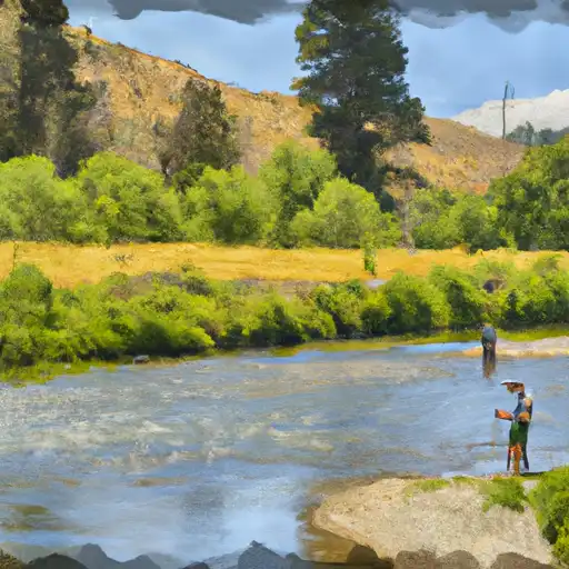
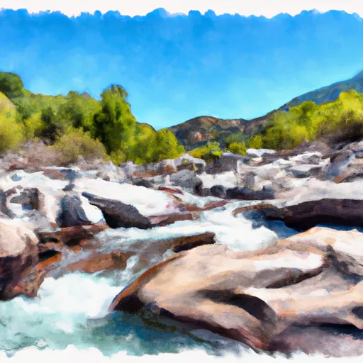
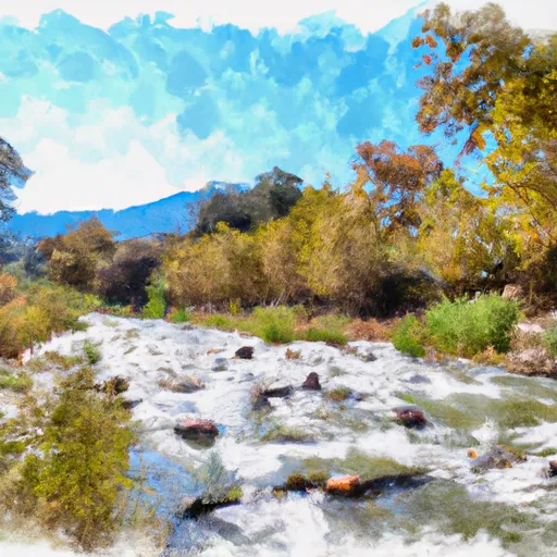
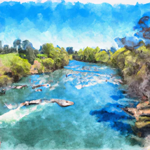
Keswick Reservoir is located in northern California and is part of the Shasta-Trinity National Forest. It was constructed in the early 1950s as part of the Keswick Dam project, which aimed to provide hydroelectric power and irrigation water to the surrounding agricultural community. The reservoir is fed by the Sacramento River and several smaller tributaries, and its hydrology is influenced by both snowpack melt and surface flow. The snowpack is primarily provided by the nearby Trinity Alps, while surface flow is dependent on precipitation and runoff in the surrounding area. The reservoir is used for irrigation, but also serves as a popular recreational destination for fishing, boating, and swimming. However, in recent years, the reservoir has been impacted by drought, leading to decreased water levels and restrictions on recreational activities.
Daily levels at Keswick Reservoir
Storage volume, pool elevation, and total release plotted from the operating agency's daily observations.
Storage
acre-ft · code 2
Pool Elevation
ft · code 1
Plan around the weather
Same NOAA / yr.no feed Snoflo's iOS app uses. Watch the precipitation column on the meteogram -- rain on the basin upstream typically lifts inflow 24-72 hours later.
Next 5 days, hour by hour
Temperature line with weather symbols on top, snow + rain accumulation as columns, humidity as a dotted line.
5-day forecast table
Every 3 hours, broken out across temperature, snow, rain, humidity, and wind. Each cell is colour-coded relative to the column min/max.
| Time | Condition | Temp (°F) | Snow (in) | Rain (in) | Humidity (%) | Wind (mps) | Wind dir |
|---|---|---|---|---|---|---|---|
| Loading detailed forecast… | |||||||
15-day temperature & precipitation
Daily temperatures, snow, and rain projected over the next two weeks.
Nearby streamflow gauges
USGS streamgauges around Keswick Reservoir -- inflows here typically show up in storage 24-72 hours later.
| Streamgauge | Discharge | View |
|---|---|---|
| Sacramento R A Keswick Ca | 13,300 cfs | → |
| Anderson-Cottonwood Id Cn At Sharon St Redding Ca | 261 cfs | → |
| Clear C Nr Igo Ca | 139 cfs | → |
| Cow C Nr Millville Ca | 48 cfs | → |
| Cottonwood C Nr Cottonwood Ca | 72 cfs | → |
| Trinity R A Lewiston Ca | 450 cfs | → |


About Keswick Reservoir
Where does the data for Keswick Reservoir come from?
Daily storage, pool elevation, and release rates are sourced from USGS, USBR, and USACE monitoring stations. Weather forecast comes from NOAA / yr.no -- the same feed Snoflo's iOS app uses.
How often is the report updated?
Storage observations are updated daily by the operating agency. The 15-day weather forecast refreshes throughout the day. Snoflo caches and renders the most recent observation -- check the "as of" timestamp on the storage card.
What does the Hazard hazard rating mean?
The Corps of Engineers' hazard potential classification grades probable consequences if the dam fails: High = probable loss of human life; Significant = no probable loss of human life but possible economic loss / environmental damage; Low = no probable loss of human life, only minor economic / environmental losses. See the Dam Data Reference card below for the full definitions.
What's "% of normal"?
The current storage value compared to the historical average storage on this calendar day. 100% = right on average; values above 100% mean above-normal storage (wet year); values below mean below-normal (dry year or drought).
Can I get alerts when storage crosses a threshold?
Yes -- alerts are managed in the Snoflo iOS app. Favorite this reservoir, set a threshold, and you'll get a push the moment conditions cross.