Lake Hodges Reservoir Report
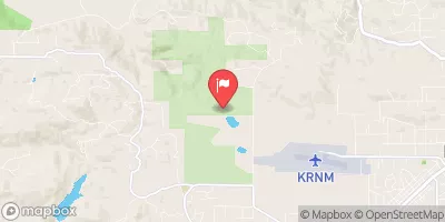
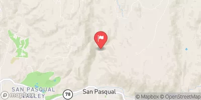
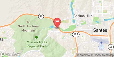
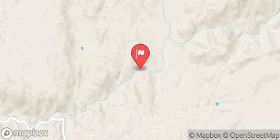
Nearby: Santa Fe Seasonal Storage Olivenhain
Last Updated: February 12, 2026
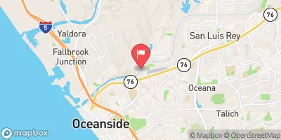
Lake Hodges is a reservoir located in San Diego County, California.
Summary
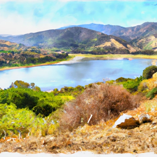
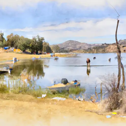
Originally a natural lake, it was dammed in 1918 to provide water to the city of San Diego. The lake is fed by the San Dieguito River and several smaller creeks, and its water is used for irrigation, municipal supply, and recreation. The hydrology of the lake is influenced by the surrounding mountains and the Mediterranean climate, which causes fluctuating water levels and seasonal variations in water quality. The surface flow into the lake is primarily from the San Dieguito River, while the snowpack from the nearby mountains also contributes to the water supply. The lake is used for recreational activities such as fishing, boating, and hiking, and it is also important for the agricultural industry in the region.
°F
°F
mph
Wind
%
Humidity
15-Day Weather Outlook
Reservoir Details
| Storage 24hr Change | None% |
| Percent of Normal | None% |
| Minimum |
4,136.0 acre-ft
2022-08-11 |
| Maximum |
13,082.0 acre-ft
2023-03-27 |
| Average | acre-ft |
| Nid_Height | 131 |
| Hydraulic_Height | 116 |
| Drainage_Area | 303 |
| Year_Completed | 1918 |
| Dam_Height | 131 |
| Primary_Dam_Type | Multi-Arch |
| Surface_Area | 1317 |
| Nid_Storage | 37700 |
| River_Or_Stream | San Dieguito River |
| Dam_Length | 729 |
| Hazard_Potential | High |
Seasonal Comparison
Storage Levels
Pool Elevation Levels
Top Conserv Storage Levels
Inflow Levels
5-Day Hourly Forecast Detail
Nearby Streamflow Levels
Dam Data Reference
Condition Assessment
SatisfactoryNo existing or potential dam safety deficiencies are recognized. Acceptable performance is expected under all loading conditions (static, hydrologic, seismic) in accordance with the minimum applicable state or federal regulatory criteria or tolerable risk guidelines.
Fair
No existing dam safety deficiencies are recognized for normal operating conditions. Rare or extreme hydrologic and/or seismic events may result in a dam safety deficiency. Risk may be in the range to take further action. Note: Rare or extreme event is defined by the regulatory agency based on their minimum
Poor A dam safety deficiency is recognized for normal operating conditions which may realistically occur. Remedial action is necessary. POOR may also be used when uncertainties exist as to critical analysis parameters which identify a potential dam safety deficiency. Investigations and studies are necessary.
Unsatisfactory
A dam safety deficiency is recognized that requires immediate or emergency remedial action for problem resolution.
Not Rated
The dam has not been inspected, is not under state or federal jurisdiction, or has been inspected but, for whatever reason, has not been rated.
Not Available
Dams for which the condition assessment is restricted to approved government users.
Hazard Potential Classification
HighDams assigned the high hazard potential classification are those where failure or mis-operation will probably cause loss of human life.
Significant
Dams assigned the significant hazard potential classification are those dams where failure or mis-operation results in no probable loss of human life but can cause economic loss, environment damage, disruption of lifeline facilities, or impact other concerns. Significant hazard potential classification dams are often located in predominantly rural or agricultural areas but could be in areas with population and significant infrastructure.
Low
Dams assigned the low hazard potential classification are those where failure or mis-operation results in no probable loss of human life and low economic and/or environmental losses. Losses are principally limited to the owner's property.
Undetermined
Dams for which a downstream hazard potential has not been designated or is not provided.
Not Available
Dams for which the downstream hazard potential is restricted to approved government users.
Area Campgrounds
| Location | Reservations | Toilets |
|---|---|---|
 Group Camp Site
|
||
 San Elijo State Beach
|
||
 Dixon Lake
|
||
 Dos Picos
|
||
 South Carlsbad State Beach
|

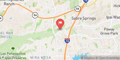
 Lake Hodges
 Lake Hodges
 Olivenhain Reservoir
 Miramar
 Miramar Lake
 Dixon Lake
 Wohlford Lake