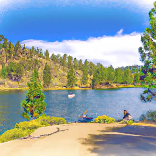
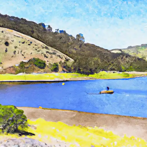
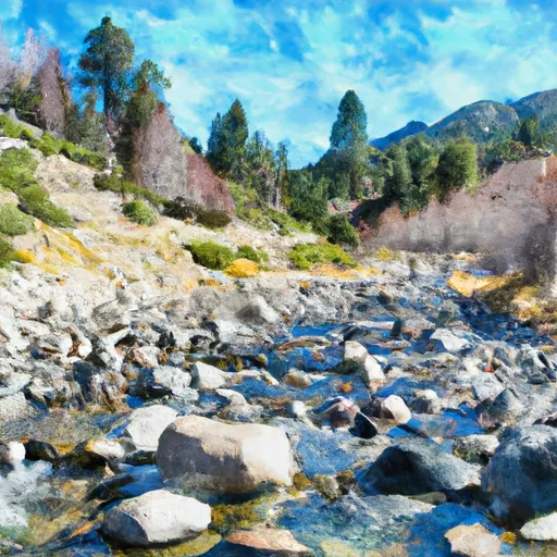
Little Grass Valley Reservoir
As of July 21, 2026, Little Grass Valley is holding 86,024 acre-ft of water — 108% of normal storage for this date. Storage data refreshed throughout the day.

Little Grass Valley
Little Grass Valley Reservoir is a lake located in Plumas County, California, USA. The reservoir was created by the construction of Little Grass Valley Dam, which was completed in 1961 by Pacific Gas and Electric Company. The dam is 105 feet high and 1,610 feet long. The reservoir has a capacity of 105,000 acre-feet and is part of the North Fork Feather River watershed. It is fed by the Little Grass Valley Creek and other small creeks, and provides water for irrigation, domestic, and industrial use. The reservoir is also used for recreational activities like fishing, boating, and swimming. The surrounding area has many campgrounds and hiking trails. Little Grass Valley is an important source of water for the region and is managed by the Plumas County Water Agency.
Daily levels at Little Grass Valley
Storage volume, pool elevation, and total release plotted from the operating agency's daily observations.
Storage
acre-ft · code 2
Pool Elevation
ft · code 1
Plan around the weather
Same NOAA / yr.no feed Snoflo's iOS app uses. Watch the precipitation column on the meteogram -- rain on the basin upstream typically lifts inflow 24-72 hours later.
Next 5 days, hour by hour
Temperature line with weather symbols on top, snow + rain accumulation as columns, humidity as a dotted line.
5-day forecast table
Every 3 hours, broken out across temperature, snow, rain, humidity, and wind. Each cell is colour-coded relative to the column min/max.
| Time | Condition | Temp (°F) | Snow (in) | Rain (in) | Humidity (%) | Wind (mps) | Wind dir |
|---|---|---|---|---|---|---|---|
| Loading detailed forecast… | |||||||
15-day temperature & precipitation
Daily temperatures, snow, and rain projected over the next two weeks.
Nearby streamflow gauges
USGS streamgauges around Little Grass Valley -- inflows here typically show up in storage 24-72 hours later.
| Streamgauge | Discharge | View |
|---|---|---|
| N Yuba R Bl Goodyears Bar Ca | 157 cfs | → |
| Spanish C A Quincy Ca | 15 cfs | → |
| Spanish C Ab Blackhawk C At Keddie Ca | 28 cfs | → |
| Butte C Nr Chico Ca | 170 cfs | → |
| Deer C Nr Smartville Ca | 3 cfs | → |
| Little Truckee R Bl Div Dam Nr Sierraville Ca | 3 cfs | → |


About Little Grass Valley
Where does the data for Little Grass Valley come from?
Daily storage, pool elevation, and release rates are sourced from USGS, USBR, and USACE monitoring stations. Weather forecast comes from NOAA / yr.no -- the same feed Snoflo's iOS app uses.
How often is the report updated?
Storage observations are updated daily by the operating agency. The 15-day weather forecast refreshes throughout the day. Snoflo caches and renders the most recent observation -- check the "as of" timestamp on the storage card.
What does the Hazard hazard rating mean?
The Corps of Engineers' hazard potential classification grades probable consequences if the dam fails: High = probable loss of human life; Significant = no probable loss of human life but possible economic loss / environmental damage; Low = no probable loss of human life, only minor economic / environmental losses. See the Dam Data Reference card below for the full definitions.
What's "% of normal"?
The current storage value compared to the historical average storage on this calendar day. 100% = right on average; values above 100% mean above-normal storage (wet year); values below mean below-normal (dry year or drought).
Can I get alerts when storage crosses a threshold?
Yes -- alerts are managed in the Snoflo iOS app. Favorite this reservoir, set a threshold, and you'll get a push the moment conditions cross.