Silver Lake Reservoir Reservoir
As of July 20, 2026, Silver Lake Reservoir is holding 8,127 acre-ft of water — 118% of normal storage for this date. Storage data refreshed throughout the day.

Silver Lake Reservoir
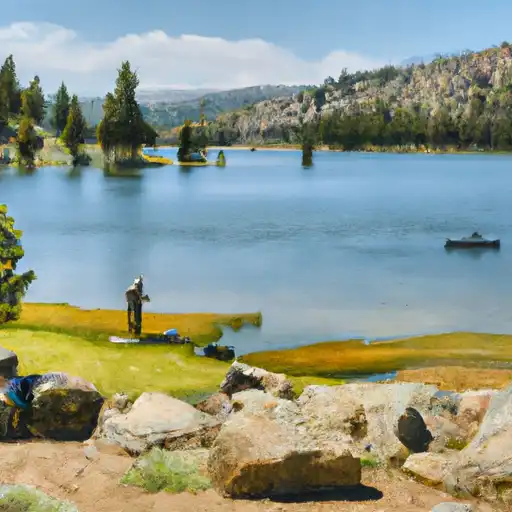
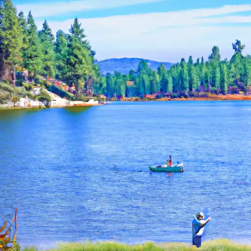
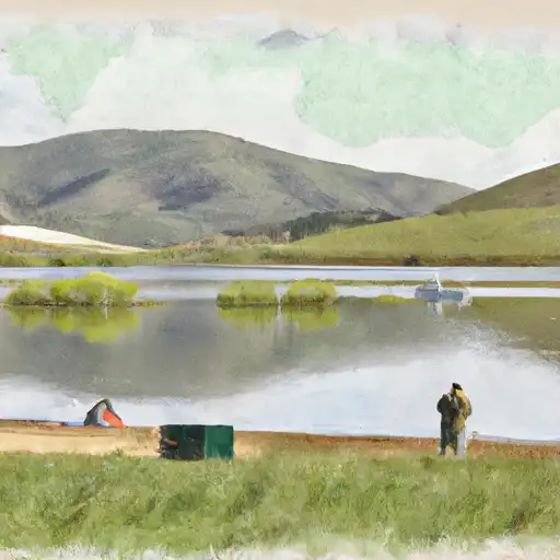
Silver Lake Reservoir is a man-made body of water located in Silver Lake, Los Angeles, California. Constructed in 1907, it was a crucial component of the area's water supply system. However, due to drought conditions, the reservoir was drained in 2015. The reservoir's hydrology is dependent on the surrounding mountains' snowpack, which provides the majority of the area's water supply. In addition, surface flow from the Los Angeles River and local groundwater also contributes to the reservoir's water levels. The reservoir was not used for agricultural purposes, but it provided recreational opportunities for nearby communities, including jogging, walking, and fishing. Despite its current dry state, plans are in place to restore the reservoir and reintroduce it to the community as a public space.
Daily levels at Silver Lake Reservoir
Storage volume, pool elevation, and total release plotted from the operating agency's daily observations.
Storage
acre-ft · code 2
Pool Elevation
ft · code 1
Plan around the weather
Same NOAA / yr.no feed Snoflo's iOS app uses. Watch the precipitation column on the meteogram -- rain on the basin upstream typically lifts inflow 24-72 hours later.
Next 5 days, hour by hour
Temperature line with weather symbols on top, snow + rain accumulation as columns, humidity as a dotted line.
5-day forecast table
Every 3 hours, broken out across temperature, snow, rain, humidity, and wind. Each cell is colour-coded relative to the column min/max.
| Time | Condition | Temp (°F) | Snow (in) | Rain (in) | Humidity (%) | Wind (mps) | Wind dir |
|---|---|---|---|---|---|---|---|
| Loading detailed forecast… | |||||||
15-day temperature & precipitation
Daily temperatures, snow, and rain projected over the next two weeks.
Nearby streamflow gauges
USGS streamgauges around Silver Lake Reservoir -- inflows here typically show up in storage 24-72 hours later.
| Streamgauge | Discharge | View |
|---|---|---|
| Upper Truckee R At S Upper Truckee Rd Nr Meyers Ca | 4 cfs | → |
| Upper Truckee R At Hwy 50 Above Meyers Ca | 39 cfs | → |
| West Fork Carson River At Woodfords | 22 cfs | → |
| Up Truckee R A South Lake Tahoe Ca | 13 cfs | → |
| Trout C Nr Tahoe Valley Ca | 20 cfs | → |
| E F Carson R Bl Markleeville C Nr Markleevilleca | 86 cfs | → |
Make a day of it
Boat launches, lakeside camping, fishing access, and other reservoirs near Silver Lake Reservoir.
Boat launches
See all →


Campgrounds
See all →


Fishing spots
See all →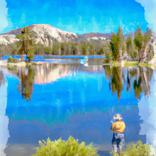
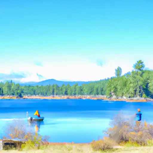
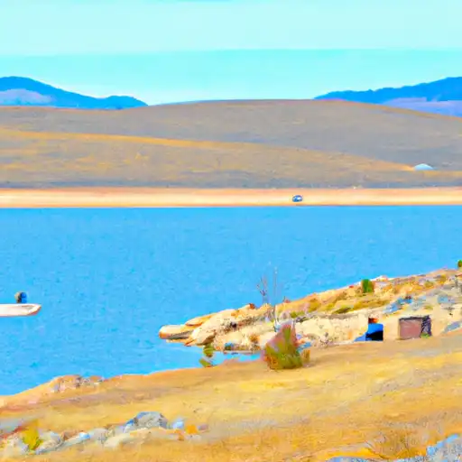
River runs
See all →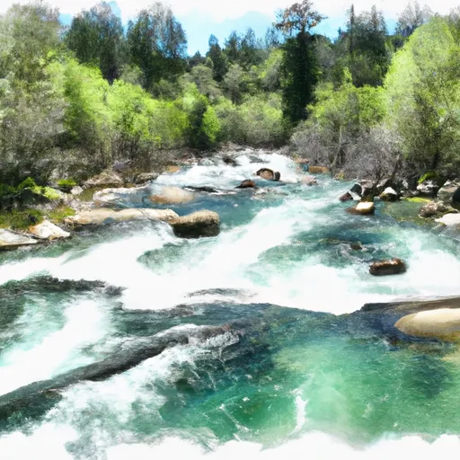


About Silver Lake Reservoir
Where does the data for Silver Lake Reservoir come from?
Daily storage, pool elevation, and release rates are sourced from USGS, USBR, and USACE monitoring stations. Weather forecast comes from NOAA / yr.no -- the same feed Snoflo's iOS app uses.
How often is the report updated?
Storage observations are updated daily by the operating agency. The 15-day weather forecast refreshes throughout the day. Snoflo caches and renders the most recent observation -- check the "as of" timestamp on the storage card.
What does the Hazard hazard rating mean?
The Corps of Engineers' hazard potential classification grades probable consequences if the dam fails: High = probable loss of human life; Significant = no probable loss of human life but possible economic loss / environmental damage; Low = no probable loss of human life, only minor economic / environmental losses. See the Dam Data Reference card below for the full definitions.
What's "% of normal"?
The current storage value compared to the historical average storage on this calendar day. 100% = right on average; values above 100% mean above-normal storage (wet year); values below mean below-normal (dry year or drought).
Can I get alerts when storage crosses a threshold?
Yes -- alerts are managed in the Snoflo iOS app. Favorite this reservoir, set a threshold, and you'll get a push the moment conditions cross.