Silver Lake dam

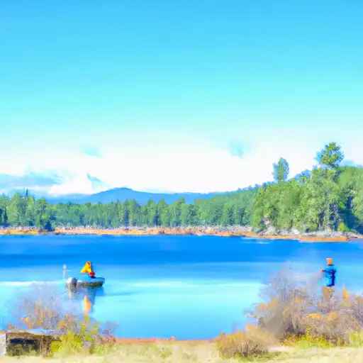
Silver Lake
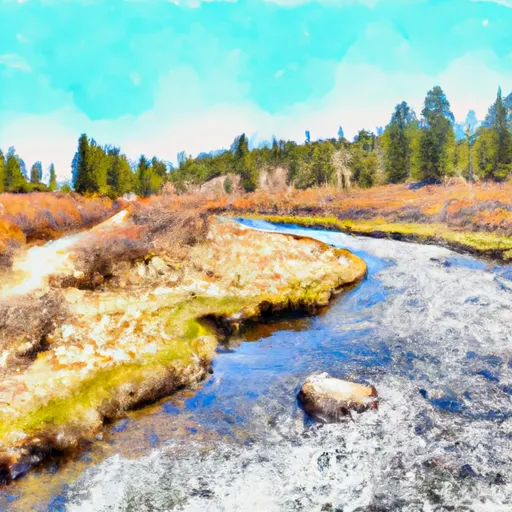
Silver Lake is a privately owned reservoir located in Kyburz, California, along the Silver Fork American River. Built in 1876 for hydroelectric purposes, this Earth dam stands at 32 feet high and has a storage capacity of 13,130 acre-feet. The dam serves multiple functions, including irrigation and recreation, while also being regulated by the Federal Energy Regulatory Commission for safety and inspection.
With a surface area of 525 acres and a maximum discharge capacity of 4,750 cubic feet per second, Silver Lake poses a high hazard potential and is classified as a very high-risk structure. Despite its age, the dam is regularly inspected and meets state permitting and enforcement requirements. The reservoir plays a crucial role in water resource management in the region, showcasing the intersection of human infrastructure with natural water systems in the face of a changing climate.
For water resource and climate enthusiasts, Silver Lake presents a fascinating example of historic dam engineering and the complex interplay between human interventions and environmental factors. As debates around dam safety, water storage, and ecosystem impacts continue, Silver Lake stands as a testament to the enduring importance of managing water resources sustainably in the face of evolving challenges and opportunities.
Plan around the weather
Same NOAA / yr.no feed Snoflo's iOS app uses. Watch the precipitation column on the meteogram -- rain on the basin upstream typically lifts inflow 24-72 hours later.
Next 5 days, hour by hour
Temperature line with weather symbols on top, snow + rain accumulation as columns, humidity as a dotted line.
5-day forecast table
Every 3 hours, broken out across temperature, snow, rain, humidity, and wind. Each cell is colour-coded relative to the column min/max.
| Time | Condition | Temp (°F) | Snow (in) | Rain (in) | Humidity (%) | Wind (mps) | Wind dir |
|---|---|---|---|---|---|---|---|
| Loading detailed forecast… | |||||||
15-day temperature & precipitation
Daily temperatures, snow, and rain projected over the next two weeks.
Nearby streamflow gauges
USGS streamgauges around Silver Lake -- inflows here typically show up in storage 24-72 hours later.
| Streamgauge | Discharge | View |
|---|---|---|
| Upper Truckee R At S Upper Truckee Rd Nr Meyers Ca | 4 cfs | → |
| Upper Truckee R At Hwy 50 Above Meyers Ca | 46 cfs | → |
| West Fork Carson River At Woodfords | 42 cfs | → |
| Up Truckee R A South Lake Tahoe Ca | 17 cfs | → |
| Trout C Nr Tahoe Valley Ca | 37 cfs | → |
| E F Carson R Bl Markleeville C Nr Markleevilleca | 133 cfs | → |
Make a day of it
Boat launches, lakeside camping, fishing access, and other reservoirs near Silver Lake .
Boat launches
See all →


Campgrounds
See all →


Fishing spots
See all →


River runs
See all →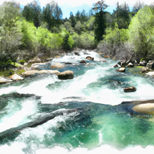


About Silver Lake
Where does the data for Silver Lake come from?
Structural and regulatory data come from the U.S. Army Corps of Engineers' National Inventory of Dams (NID). Weather forecast comes from NOAA / yr.no -- the same feed Snoflo's iOS app uses.
How often is the report updated?
NID structural data refreshes annually as the Corps publishes updated assessments. The weather forecast refreshes throughout the day.
What does the High hazard rating mean?
The Corps of Engineers' hazard potential classification grades probable consequences if the dam fails: High = probable loss of human life; Significant = no probable loss of human life but possible economic loss / environmental damage; Low = no probable loss of human life, only minor economic / environmental losses. See the Dam Data Reference card below for the full definitions.
What's "% of normal"?
The current storage value compared to the historical average storage on this calendar day. 100% = right on average; values above 100% mean above-normal storage (wet year); values below mean below-normal (dry year or drought).
Can I get alerts when storage crosses a threshold?
Yes -- alerts are managed in the Snoflo iOS app. Favorite this dam, set a threshold, and you'll get a push the moment conditions cross.
Dam data reference
Condition Assessment
- Satisfactory
- No existing or potential dam safety deficiencies are recognized. Acceptable performance is expected under all loading conditions (static, hydrologic, seismic) in accordance with the minimum applicable state or federal regulatory criteria or tolerable risk guidelines.
- Fair
- No existing dam safety deficiencies are recognized for normal operating conditions. Rare or extreme hydrologic and/or seismic events may result in a dam safety deficiency. Risk may be in the range to take further action.
- Poor
- A dam safety deficiency is recognized for normal operating conditions which may realistically occur. Remedial action is necessary. POOR may also be used when uncertainties exist as to critical analysis parameters which identify a potential dam safety deficiency.
- Unsatisfactory
- A dam safety deficiency is recognized that requires immediate or emergency remedial action for problem resolution.
- Not Rated
- The dam has not been inspected, is not under state or federal jurisdiction, or has been inspected but, for whatever reason, has not been rated.
Hazard Potential Classification
- High
- Dams assigned the high hazard potential classification are those where failure or mis-operation will probably cause loss of human life.
- Significant
- Dams assigned the significant hazard potential classification are those dams where failure or mis-operation results in no probable loss of human life but can cause economic loss, environmental damage, disruption of lifeline facilities, or impact other concerns. Significant hazard potential classification dams are often located in predominantly rural or agricultural areas but could be in areas with population and significant infrastructure.
- Low
- Dams assigned the low hazard potential classification are those where failure or mis-operation results in no probable loss of human life and low economic and/or environmental losses. Losses are principally limited to the owner's property.
- Undetermined
- Dams for which a downstream hazard potential has not been designated or is not provided.