Stampede Res Nr Boca Ca Reservoir Report
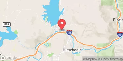
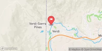
Nearby: Stampede Dike Boca
Last Updated: February 20, 2026
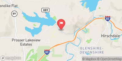
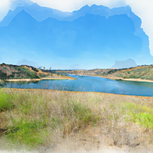
Stampede Reservoir is located in Boca, California and was constructed in 1970.
Summary
It is managed by the Truckee-Carson Irrigation District and is the largest reservoir in the area. The reservoir is fed by the Little Truckee River and is used for hydroelectricity generation, irrigation, and recreational activities such as fishing, boating, and camping. The reservoir's hydrology is dominated by the snowpack, which varies year-to-year and affects the surface flow. There are several snowpack providers in the area, including the California Department of Water Resources and the National Weather Service. The reservoir also plays a vital role in supporting the agricultural industry of the surrounding area.
°F
°F
mph
Wind
%
Humidity
15-Day Weather Outlook
Reservoir Details
| Lake Or Reservoir Water Surface Elevation Above Ngvd 1929, Ft 24hr Change | 0.0% |
| Percent of Normal | 100% |
| Minimum |
5,848.38 ft
2015-12-10 |
| Maximum |
5,950.06 ft
2023-07-12 |
| Average | 5,917 ft |
| Dam_Height | 226 |
| Hydraulic_Height | 225 |
| Drainage_Area | 135 |
| Year_Completed | 1970 |
| Nid_Storage | 280100 |
| Hazard_Potential | High |
| Structural_Height | 256 |
| River_Or_Stream | LITTLE TRUCKEE RIVER |
| Surface_Area | 3885 |
| Dam_Length | 1511 |
| Primary_Dam_Type | Earth |
| Nid_Height | 256 |
Seasonal Comparison
Precipitation, Total, In Levels
Reservoir Storage, Acre-Ft Levels
Lake Or Reservoir Water Surface Elevation Above Ngvd 1929, Ft Levels
5-Day Hourly Forecast Detail
Nearby Streamflow Levels
Dam Data Reference
Condition Assessment
SatisfactoryNo existing or potential dam safety deficiencies are recognized. Acceptable performance is expected under all loading conditions (static, hydrologic, seismic) in accordance with the minimum applicable state or federal regulatory criteria or tolerable risk guidelines.
Fair
No existing dam safety deficiencies are recognized for normal operating conditions. Rare or extreme hydrologic and/or seismic events may result in a dam safety deficiency. Risk may be in the range to take further action. Note: Rare or extreme event is defined by the regulatory agency based on their minimum
Poor A dam safety deficiency is recognized for normal operating conditions which may realistically occur. Remedial action is necessary. POOR may also be used when uncertainties exist as to critical analysis parameters which identify a potential dam safety deficiency. Investigations and studies are necessary.
Unsatisfactory
A dam safety deficiency is recognized that requires immediate or emergency remedial action for problem resolution.
Not Rated
The dam has not been inspected, is not under state or federal jurisdiction, or has been inspected but, for whatever reason, has not been rated.
Not Available
Dams for which the condition assessment is restricted to approved government users.
Hazard Potential Classification
HighDams assigned the high hazard potential classification are those where failure or mis-operation will probably cause loss of human life.
Significant
Dams assigned the significant hazard potential classification are those dams where failure or mis-operation results in no probable loss of human life but can cause economic loss, environment damage, disruption of lifeline facilities, or impact other concerns. Significant hazard potential classification dams are often located in predominantly rural or agricultural areas but could be in areas with population and significant infrastructure.
Low
Dams assigned the low hazard potential classification are those where failure or mis-operation results in no probable loss of human life and low economic and/or environmental losses. Losses are principally limited to the owner's property.
Undetermined
Dams for which a downstream hazard potential has not been designated or is not provided.
Not Available
Dams for which the downstream hazard potential is restricted to approved government users.
Area Campgrounds
| Location | Reservations | Toilets |
|---|---|---|
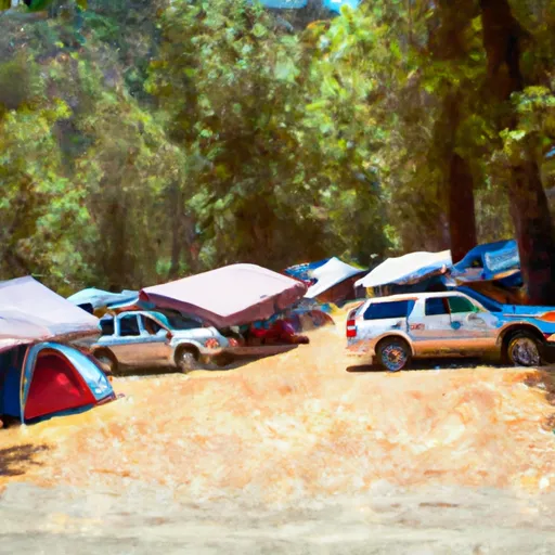 Emigrant Group Campground
|
||
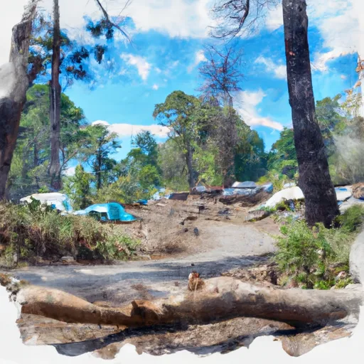 Logger Campground
|
||
 Logger
|
||
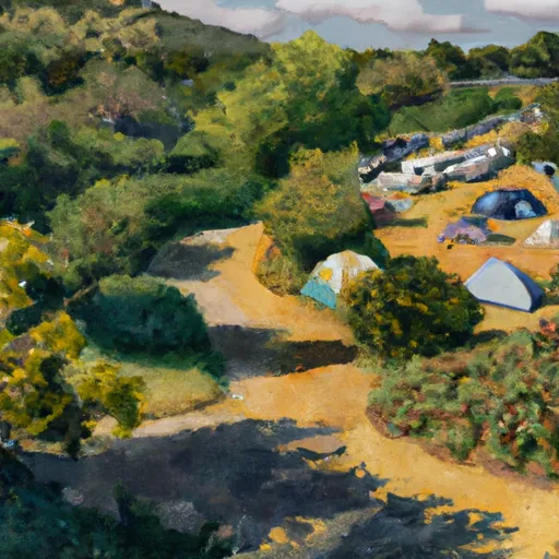 Boyington Mill Campground
|
||
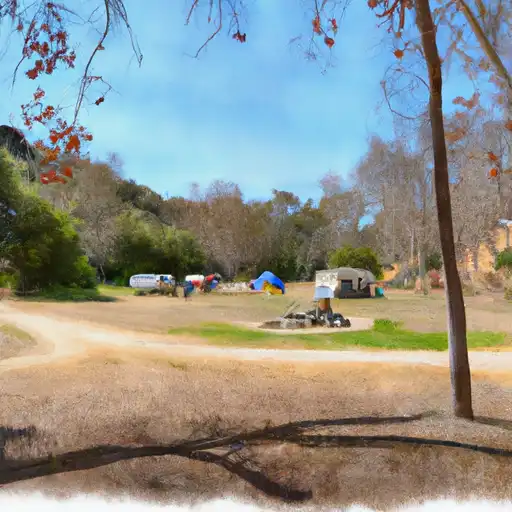 Boyington Mill
|
||
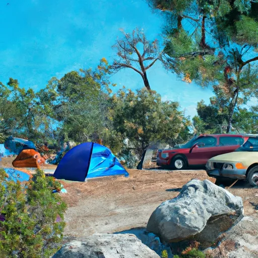 Boca Springs
|

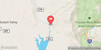
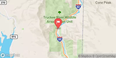
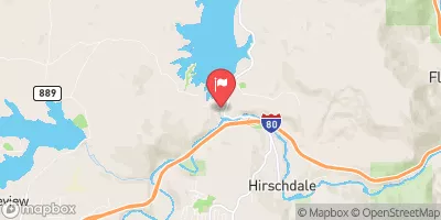
 Stampede
 Stampede Res Nr Boca Ca
 Stampede
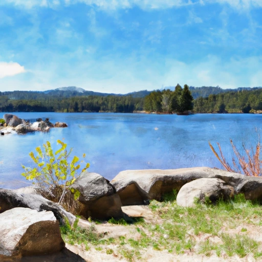 Boca Res Nr Truckee Ca
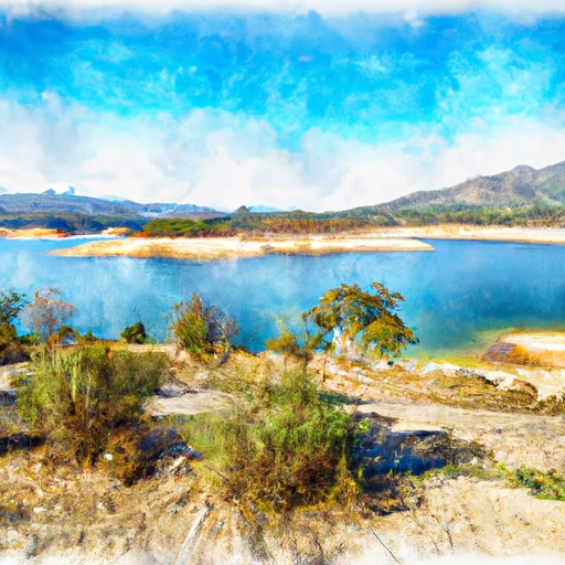 Boca Reservoir
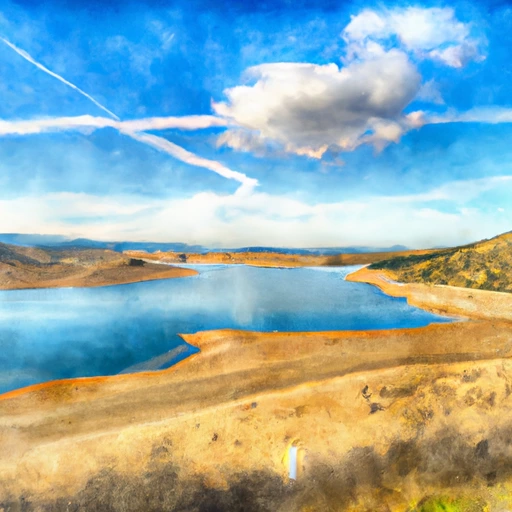 Prosser Creek Reservoir
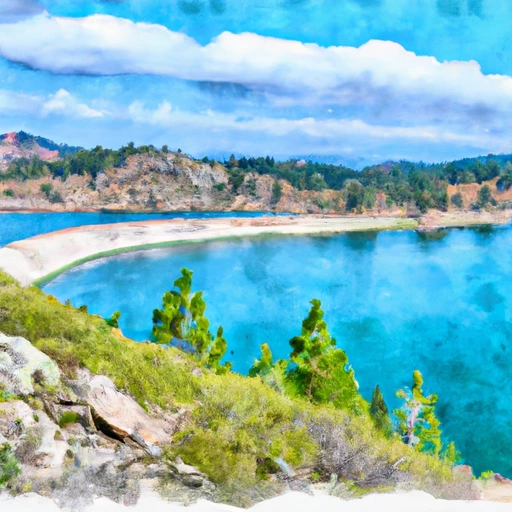 Prosser C Res Nr Truckee Ca
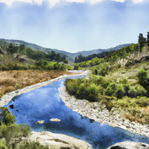 Headwaters Se 1/4 Of Sec 10, T18, R15E To Stampede Reservoir
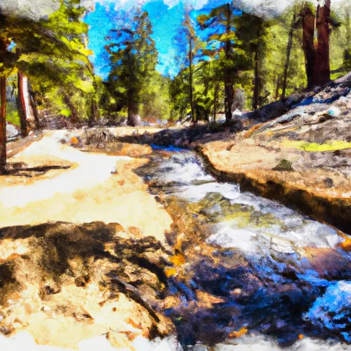 Headwaters To Trailhead