Windspeed
Humidity
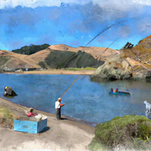
After conducting research, I was not able to find any specific information about the Capt Roberts Boating Site in California. Therefore, I am unable to provide details regarding the kind of boat ramp it is, its width, the body of water it services, and the kind of craft allowed on the water. Without further information, it's difficult to determine the accuracy of the coordinates provided. It is possible that the boat ramp has been renamed or is not a well-known location.
Discharge | Stage | Elevation | |
W WALKER R AT HOYE BRIDGE NR WELLINGTON
2024-12-24T00:10:00.000-08:00 |
36cfs | 0.84ft | 4961ft |
LEVIATHAN C CHANNEL UNDERDRAIN NR MARKLEEVILLE CA
2012-10-08T23:45:00.000-07:00 |
0cfs | 0.210ft | 6833ft |
E F CARSON R BL MARKLEEVILLE C NR MARKLEEVILLECA
2024-12-24T00:15:00.000-08:00 |
96cfs | 2.57ft | 5402ft |
WEST FORK CARSON RIVER AT WOODFORDS
2024-12-24T00:15:00.000-08:00 |
22cfs | 10.61ft | 5759ft |
BRYANT C BL MOUNTAINEER C NR MARKLEEVILLE CA
2024-12-24T01:15:00.000-08:00 |
3cfs | 4.05ft | 6266ft |
LEVIATHAN C AB ASPEN C NR MARKLEEVILLE CA
2024-12-24T00:00:00.000-08:00 |
0cfs | 4.49ft | 6651ft |
ASPEN C OVERBURDEN SEEP NR MARKLEEVILLE CA
2012-09-12T23:45:00.000-07:00 |
0cfs | 0.128ft | 6981ft |
Camping Area | Reservations | Toilets | Showers |
---|---|---|---|
Robinson Flat | |||
Nevada Beach | |||
Northshore | |||
Pleasant Dispersed | |||
Gerle Creek | |||
Sugar Pine Point State Park |