Juniata Reservoir Report
Nearby: Hallenbeck #1 Reeder
Last Updated: February 22, 2026
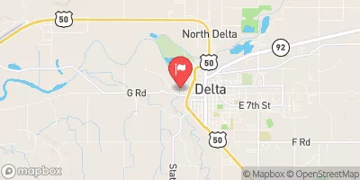
Juniata is a vital water resource located in Mesa, Colorado, specifically in the city of Whitewater.
Summary
Completed in 1979, this earth dam stands at a height of 98 feet, with a hydraulic height of 110 feet, providing water supply for various purposes such as fish and wildlife ponds, recreation, and water supply. With a storage capacity of 8,074 acre-feet and a normal storage of 7,281 acre-feet, Juniata covers a surface area of 150 acres and serves a drainage area of 2 square miles.
Managed by the local government and regulated by the Colorado Department of Water Resources, Juniata has a spillway width of 30 feet and is equipped with slide and uncontrolled outlet gates. Despite being classified as having a high hazard potential, the dam's condition assessment is rated as fair, with the last inspection conducted in April 2020. Juniata poses a moderate risk, with risk management measures yet to be detailed. Overall, Juniata serves as a crucial water source for the region, supporting both environmental and recreational needs while highlighting the importance of proper maintenance and monitoring in ensuring its safety and longevity.
°F
°F
mph
Wind
%
Humidity
15-Day Weather Outlook
Year Completed |
1979 |
Dam Length |
2000 |
Dam Height |
98 |
River Or Stream |
KANNAH CREEK-TR |
Primary Dam Type |
Earth |
Surface Area |
150 |
Hydraulic Height |
110 |
Drainage Area |
2 |
Nid Storage |
8074 |
Structural Height |
110 |
Outlet Gates |
Slide (sluice gate), Uncontrolled |
Hazard Potential |
High |
Foundations |
Rock, Soil |
Nid Height |
110 |
Seasonal Comparison
5-Day Hourly Forecast Detail
Nearby Streamflow Levels
 Gunnison River Near Grand Junction
|
770cfs |
 Colo River Blw Grd Valley Div Nr Palisade Co
|
1060cfs |
 Plateau Creek Near Cameo
|
54cfs |
 Gunnison River At Delta
|
541cfs |
 Colorado River Near Cameo
|
1070cfs |
 Uncompahgre River At Delta
|
126cfs |
Dam Data Reference
Condition Assessment
SatisfactoryNo existing or potential dam safety deficiencies are recognized. Acceptable performance is expected under all loading conditions (static, hydrologic, seismic) in accordance with the minimum applicable state or federal regulatory criteria or tolerable risk guidelines.
Fair
No existing dam safety deficiencies are recognized for normal operating conditions. Rare or extreme hydrologic and/or seismic events may result in a dam safety deficiency. Risk may be in the range to take further action. Note: Rare or extreme event is defined by the regulatory agency based on their minimum
Poor A dam safety deficiency is recognized for normal operating conditions which may realistically occur. Remedial action is necessary. POOR may also be used when uncertainties exist as to critical analysis parameters which identify a potential dam safety deficiency. Investigations and studies are necessary.
Unsatisfactory
A dam safety deficiency is recognized that requires immediate or emergency remedial action for problem resolution.
Not Rated
The dam has not been inspected, is not under state or federal jurisdiction, or has been inspected but, for whatever reason, has not been rated.
Not Available
Dams for which the condition assessment is restricted to approved government users.
Hazard Potential Classification
HighDams assigned the high hazard potential classification are those where failure or mis-operation will probably cause loss of human life.
Significant
Dams assigned the significant hazard potential classification are those dams where failure or mis-operation results in no probable loss of human life but can cause economic loss, environment damage, disruption of lifeline facilities, or impact other concerns. Significant hazard potential classification dams are often located in predominantly rural or agricultural areas but could be in areas with population and significant infrastructure.
Low
Dams assigned the low hazard potential classification are those where failure or mis-operation results in no probable loss of human life and low economic and/or environmental losses. Losses are principally limited to the owner's property.
Undetermined
Dams for which a downstream hazard potential has not been designated or is not provided.
Not Available
Dams for which the downstream hazard potential is restricted to approved government users.
Area Campgrounds
| Location | Reservations | Toilets |
|---|---|---|
 Black Bear Cabin
|
||
 Moose Manor Cabin
|
||
 Jumbo
Jumbo
|
||
 Jumbo Campground - Grand Valley RD
|
||
 Spruce Grove - Mesa
|

 Juniata
 State Highway 141 Mesa County
 Whitewater Boat Launch
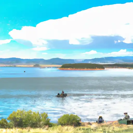 Carson Lake
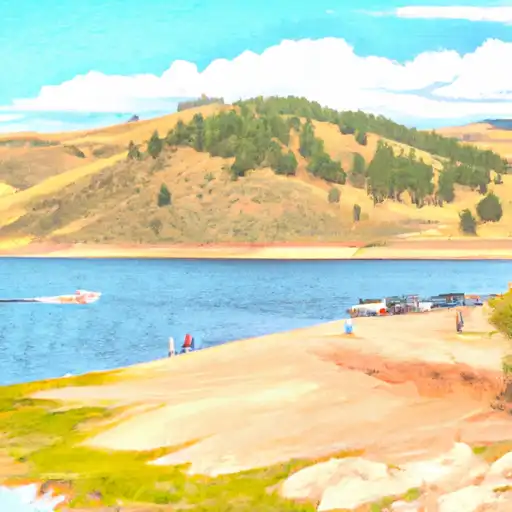 Porter Reservoir #4 (Little Davies)
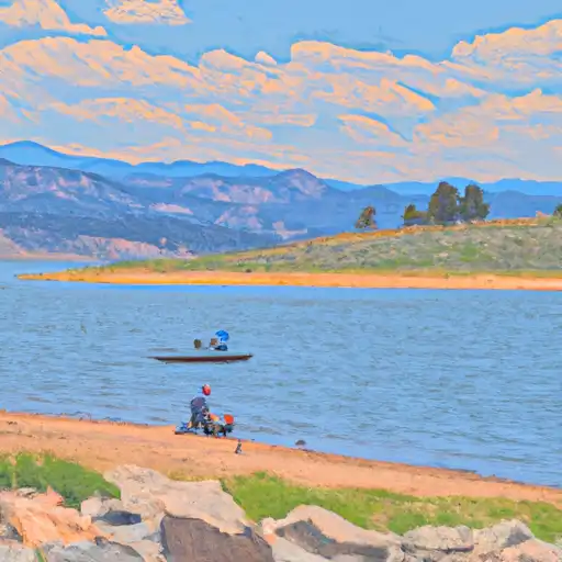 Porter Reservoir #1
 Corn Lake
 Lost Lake (Grand Mesa