Summary
Managed by the Colorado Department of Water Resources, this earth dam was completed in 1930 by the USDA Natural Resources Conservation Service. With a height of 18 feet and a hydraulic height of 20 feet, Sand Creek serves the primary purpose of irrigation, providing water storage of up to 141 acre-feet for agricultural needs in the region.
The dam has a spillway width of 400 feet and a maximum discharge capacity of 15,400 cubic feet per second, making it a crucial resource for managing water flow during heavy rainfall events. While it has a low hazard potential and is currently in fair condition, with the last inspection conducted in May 2011, Sand Creek plays a vital role in water resource management in the area. Despite being classified as a moderate risk structure, the dam has not required any significant risk management measures as of the latest data update in May 2021.
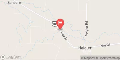
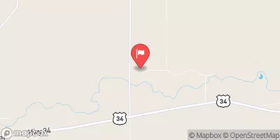
Situated in a strategic location along Sand Draw, this dam plays a crucial role in supporting agricultural activities in the region while also providing flood control measures. With its historical significance dating back to the early 20th century, Sand Creek continues to be a key component of the water infrastructure in Sedgwick County, Colorado, ensuring the sustainable use of water resources for the local community.
°F
°F
mph
Wind
%
Humidity
15-Day Weather Outlook
Year Completed |
1930 |
Dam Length |
245 |
Dam Height |
18 |
River Or Stream |
SAND DRAW |
Primary Dam Type |
Earth |
Surface Area |
13 |
Hydraulic Height |
20 |
Drainage Area |
50 |
Nid Storage |
141 |
Structural Height |
24 |
Hazard Potential |
Low |
Nid Height |
24 |
Seasonal Comparison
5-Day Hourly Forecast Detail
Nearby Streamflow Levels
Dam Data Reference
Condition Assessment
SatisfactoryNo existing or potential dam safety deficiencies are recognized. Acceptable performance is expected under all loading conditions (static, hydrologic, seismic) in accordance with the minimum applicable state or federal regulatory criteria or tolerable risk guidelines.
Fair
No existing dam safety deficiencies are recognized for normal operating conditions. Rare or extreme hydrologic and/or seismic events may result in a dam safety deficiency. Risk may be in the range to take further action. Note: Rare or extreme event is defined by the regulatory agency based on their minimum
Poor A dam safety deficiency is recognized for normal operating conditions which may realistically occur. Remedial action is necessary. POOR may also be used when uncertainties exist as to critical analysis parameters which identify a potential dam safety deficiency. Investigations and studies are necessary.
Unsatisfactory
A dam safety deficiency is recognized that requires immediate or emergency remedial action for problem resolution.
Not Rated
The dam has not been inspected, is not under state or federal jurisdiction, or has been inspected but, for whatever reason, has not been rated.
Not Available
Dams for which the condition assessment is restricted to approved government users.
Hazard Potential Classification
HighDams assigned the high hazard potential classification are those where failure or mis-operation will probably cause loss of human life.
Significant
Dams assigned the significant hazard potential classification are those dams where failure or mis-operation results in no probable loss of human life but can cause economic loss, environment damage, disruption of lifeline facilities, or impact other concerns. Significant hazard potential classification dams are often located in predominantly rural or agricultural areas but could be in areas with population and significant infrastructure.
Low
Dams assigned the low hazard potential classification are those where failure or mis-operation results in no probable loss of human life and low economic and/or environmental losses. Losses are principally limited to the owner's property.
Undetermined
Dams for which a downstream hazard potential has not been designated or is not provided.
Not Available
Dams for which the downstream hazard potential is restricted to approved government users.

 Sand Creek