Mckinley Clay Dam

Mckinley Clay
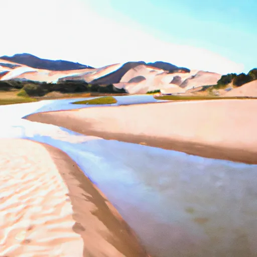
Mckinley Clay, located in Huerfano, Colorado, is a historic earth dam constructed in 1911 by the USDA NRCS for irrigation purposes along Muddy Creek. With a height of 33 feet and a length of 545 feet, the dam has a maximum storage capacity of 201 acre-feet and serves multiple purposes including fire protection, livestock watering, and small fish pond maintenance. Despite being categorized as having a low hazard potential, the dam's condition was assessed as unsatisfactory during its last inspection in 2014.
Although Mckinley Clay does not have a spillway, it is regulated by the Colorado Department of Water Resources, with state permitting, inspection, and enforcement procedures in place. The dam is privately owned and situated within the Sacramento District, with its operations overseen by the Natural Resources Conservation Service. The risk assessment for Mckinley Clay indicates a high risk level, emphasizing the importance of ongoing monitoring and management measures to ensure the safety and functionality of this vital water resource infrastructure in Colorado.
As a key feature in the local water management system, Mckinley Clay plays a crucial role in supporting agricultural activities and maintaining water supply reliability in the region. Its historical significance, combined with its strategic location and multi-purpose functionality, highlights the importance of continued monitoring and maintenance to safeguard against potential risks and ensure sustainable water resource management for future generations of water resource and climate enthusiasts in Colorado.
Plan around the weather
Same NOAA / yr.no feed Snoflo's iOS app uses. Watch the precipitation column on the meteogram -- rain on the basin upstream typically lifts inflow 24-72 hours later.
Next 5 days, hour by hour
Temperature line with weather symbols on top, snow + rain accumulation as columns, humidity as a dotted line.
5-day forecast table
Every 3 hours, broken out across temperature, snow, rain, humidity, and wind. Each cell is colour-coded relative to the column min/max.
| Time | Condition | Temp (°F) | Snow (in) | Rain (in) | Humidity (%) | Wind (mps) | Wind dir |
|---|---|---|---|---|---|---|---|
| Loading detailed forecast… | |||||||
15-day temperature & precipitation
Daily temperatures, snow, and rain projected over the next two weeks.
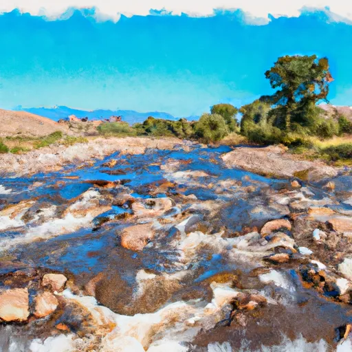
Nearby streamflow gauges
USGS streamgauges around Mckinley Clay -- inflows here typically show up in storage 24-72 hours later.
| Streamgauge | Discharge | View |
|---|---|---|
| Huerfano R At Manzanares Xing | 4 cfs | → |
| Cottonwood Creek Near Crestone | 1 cfs | → |
| Huerfano River At Badito | 0 cfs | → |
| North Crestone Creek Near Crestone | 1 cfs | → |
| Grape Creek Near Westcliffe | 4 cfs | → |
| Ute Creek Near Fort Garland | 1 cfs | → |


About Mckinley Clay
Where does the data for Mckinley Clay come from?
Structural and regulatory data come from the U.S. Army Corps of Engineers' National Inventory of Dams (NID). Weather forecast comes from NOAA / yr.no -- the same feed Snoflo's iOS app uses.
How often is the report updated?
NID structural data refreshes annually as the Corps publishes updated assessments. The weather forecast refreshes throughout the day.
What does the Low hazard rating mean?
The Corps of Engineers' hazard potential classification grades probable consequences if the dam fails: High = probable loss of human life; Significant = no probable loss of human life but possible economic loss / environmental damage; Low = no probable loss of human life, only minor economic / environmental losses. See the Dam Data Reference card below for the full definitions.
What's "% of normal"?
The current storage value compared to the historical average storage on this calendar day. 100% = right on average; values above 100% mean above-normal storage (wet year); values below mean below-normal (dry year or drought).
Can I get alerts when storage crosses a threshold?
Yes -- alerts are managed in the Snoflo iOS app. Favorite this dam, set a threshold, and you'll get a push the moment conditions cross.
Dam data reference
Condition Assessment
- Satisfactory
- No existing or potential dam safety deficiencies are recognized. Acceptable performance is expected under all loading conditions (static, hydrologic, seismic) in accordance with the minimum applicable state or federal regulatory criteria or tolerable risk guidelines.
- Fair
- No existing dam safety deficiencies are recognized for normal operating conditions. Rare or extreme hydrologic and/or seismic events may result in a dam safety deficiency. Risk may be in the range to take further action.
- Poor
- A dam safety deficiency is recognized for normal operating conditions which may realistically occur. Remedial action is necessary. POOR may also be used when uncertainties exist as to critical analysis parameters which identify a potential dam safety deficiency.
- Unsatisfactory
- A dam safety deficiency is recognized that requires immediate or emergency remedial action for problem resolution.
- Not Rated
- The dam has not been inspected, is not under state or federal jurisdiction, or has been inspected but, for whatever reason, has not been rated.
Hazard Potential Classification
- High
- Dams assigned the high hazard potential classification are those where failure or mis-operation will probably cause loss of human life.
- Significant
- Dams assigned the significant hazard potential classification are those dams where failure or mis-operation results in no probable loss of human life but can cause economic loss, environmental damage, disruption of lifeline facilities, or impact other concerns. Significant hazard potential classification dams are often located in predominantly rural or agricultural areas but could be in areas with population and significant infrastructure.
- Low
- Dams assigned the low hazard potential classification are those where failure or mis-operation results in no probable loss of human life and low economic and/or environmental losses. Losses are principally limited to the owner's property.
- Undetermined
- Dams for which a downstream hazard potential has not been designated or is not provided.