Red Mesa Ward Reservoir Report
Nearby: Long Hollow Upper Railroad
Last Updated: January 2, 2026
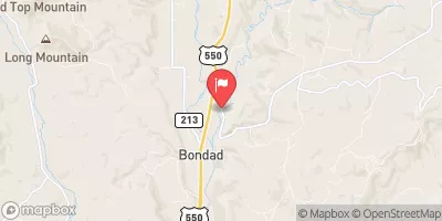
Red Mesa Ward, located in La Plata, Colorado, is a privately owned Earth dam constructed in 1915 primarily for irrigation purposes along the Hay Gulch river.
°F
°F
mph
Wind
%
Humidity
Summary
With a height of 59 feet and a storage capacity of 1454 acre-feet, it serves as a vital water resource in the region, encompassing a surface area of 59 acres and draining an area of 30 square miles. The dam's spillway type is uncontrolled, with a width of 40 feet, and it features a slide (sluice gate) outlet gate for water release.
Despite being classified as having a high hazard potential, Red Mesa Ward is currently in fair condition as of the last assessment in October 2020. With regular state inspection, permitting, and enforcement in place, the dam's risk management measures are deemed moderate. The dam is situated in an area with a moderate risk assessment level of 3, highlighting the importance of continued monitoring and adherence to safety guidelines. For water resource and climate enthusiasts, Red Mesa Ward stands as a significant structure contributing to the local irrigation infrastructure, warranting attention and care to ensure its functionality and safety for the community.
Year Completed |
1915 |
Dam Length |
420 |
Dam Height |
59 |
River Or Stream |
HAY GULCH |
Primary Dam Type |
Earth |
Surface Area |
59 |
Hydraulic Height |
60 |
Drainage Area |
30 |
Nid Storage |
1454 |
Structural Height |
61 |
Outlet Gates |
Slide (sluice gate) - 1 |
Hazard Potential |
High |
Nid Height |
61 |
Seasonal Comparison
Weather Forecast
Nearby Streamflow Levels
Dam Data Reference
Condition Assessment
SatisfactoryNo existing or potential dam safety deficiencies are recognized. Acceptable performance is expected under all loading conditions (static, hydrologic, seismic) in accordance with the minimum applicable state or federal regulatory criteria or tolerable risk guidelines.
Fair
No existing dam safety deficiencies are recognized for normal operating conditions. Rare or extreme hydrologic and/or seismic events may result in a dam safety deficiency. Risk may be in the range to take further action. Note: Rare or extreme event is defined by the regulatory agency based on their minimum
Poor A dam safety deficiency is recognized for normal operating conditions which may realistically occur. Remedial action is necessary. POOR may also be used when uncertainties exist as to critical analysis parameters which identify a potential dam safety deficiency. Investigations and studies are necessary.
Unsatisfactory
A dam safety deficiency is recognized that requires immediate or emergency remedial action for problem resolution.
Not Rated
The dam has not been inspected, is not under state or federal jurisdiction, or has been inspected but, for whatever reason, has not been rated.
Not Available
Dams for which the condition assessment is restricted to approved government users.
Hazard Potential Classification
HighDams assigned the high hazard potential classification are those where failure or mis-operation will probably cause loss of human life.
Significant
Dams assigned the significant hazard potential classification are those dams where failure or mis-operation results in no probable loss of human life but can cause economic loss, environment damage, disruption of lifeline facilities, or impact other concerns. Significant hazard potential classification dams are often located in predominantly rural or agricultural areas but could be in areas with population and significant infrastructure.
Low
Dams assigned the low hazard potential classification are those where failure or mis-operation results in no probable loss of human life and low economic and/or environmental losses. Losses are principally limited to the owner's property.
Undetermined
Dams for which a downstream hazard potential has not been designated or is not provided.
Not Available
Dams for which the downstream hazard potential is restricted to approved government users.


 Red Mesa Ward