Pawnee Evaporation Ponds A Reservoir Report
Last Updated: February 12, 2026
Pawnee Evaporation Ponds A, B, C are vital water resource structures located in Morgan, Colorado, specifically in the city of Brush.
Summary
These ponds, completed in 1981, are owned by a public utility and fall under state jurisdiction, with regulatory oversight from the Department of Water Resources (DWR). The primary purpose of these earth dams is for evaporation, with a design that includes a hydraulic height of 11 feet and a structural height of 17 feet.
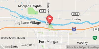
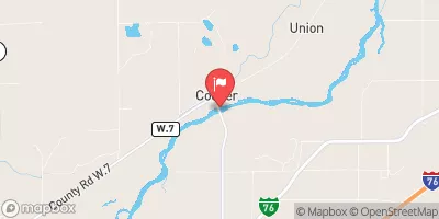
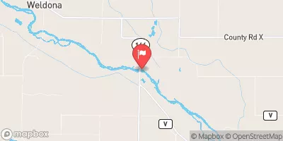
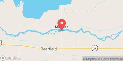
With a maximum storage capacity of 415 acre-feet and a normal storage of 230 acre-feet, Pawnee Evaporation Ponds A, B, C cover a surface area of 39 acres. The dams have a low hazard potential and were last inspected in October 2015, with a satisfactory condition assessment. Despite the high risk assessment due to their purpose, the dams are well-maintained and meet state regulatory requirements for permitting, inspection, and enforcement. The proximity of the ponds to the South Platte River further emphasizes their significance in water resource management in the region.
°F
°F
mph
Wind
%
Humidity
15-Day Weather Outlook
Year Completed |
1981 |
Dam Length |
9526 |
Dam Height |
13 |
River Or Stream |
SOUTH PLATTE-OS |
Primary Dam Type |
Earth |
Surface Area |
39 |
Hydraulic Height |
11 |
Nid Storage |
415 |
Structural Height |
17 |
Hazard Potential |
Low |
Nid Height |
17 |
Seasonal Comparison
5-Day Hourly Forecast Detail
Nearby Streamflow Levels
Dam Data Reference
Condition Assessment
SatisfactoryNo existing or potential dam safety deficiencies are recognized. Acceptable performance is expected under all loading conditions (static, hydrologic, seismic) in accordance with the minimum applicable state or federal regulatory criteria or tolerable risk guidelines.
Fair
No existing dam safety deficiencies are recognized for normal operating conditions. Rare or extreme hydrologic and/or seismic events may result in a dam safety deficiency. Risk may be in the range to take further action. Note: Rare or extreme event is defined by the regulatory agency based on their minimum
Poor A dam safety deficiency is recognized for normal operating conditions which may realistically occur. Remedial action is necessary. POOR may also be used when uncertainties exist as to critical analysis parameters which identify a potential dam safety deficiency. Investigations and studies are necessary.
Unsatisfactory
A dam safety deficiency is recognized that requires immediate or emergency remedial action for problem resolution.
Not Rated
The dam has not been inspected, is not under state or federal jurisdiction, or has been inspected but, for whatever reason, has not been rated.
Not Available
Dams for which the condition assessment is restricted to approved government users.
Hazard Potential Classification
HighDams assigned the high hazard potential classification are those where failure or mis-operation will probably cause loss of human life.
Significant
Dams assigned the significant hazard potential classification are those dams where failure or mis-operation results in no probable loss of human life but can cause economic loss, environment damage, disruption of lifeline facilities, or impact other concerns. Significant hazard potential classification dams are often located in predominantly rural or agricultural areas but could be in areas with population and significant infrastructure.
Low
Dams assigned the low hazard potential classification are those where failure or mis-operation results in no probable loss of human life and low economic and/or environmental losses. Losses are principally limited to the owner's property.
Undetermined
Dams for which a downstream hazard potential has not been designated or is not provided.
Not Available
Dams for which the downstream hazard potential is restricted to approved government users.

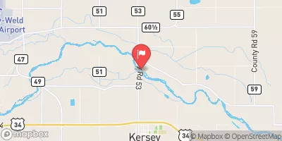
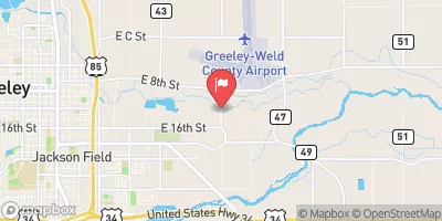
 Pawnee Evaporation Ponds A, B, C