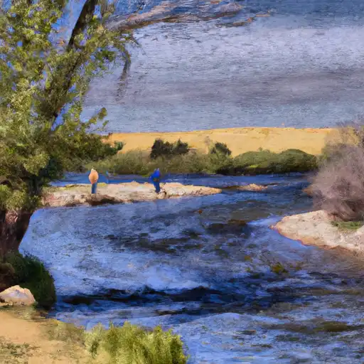
Cowdrey Dam

Cowdrey
Cowdrey, also known as Carlstrom, is a private irrigation dam located in Jackson County, Colorado. Completed in 1952, this earth dam stands at a height of 8 feet and stretches 700 feet in length. With a storage capacity of 831 acre-feet, it primarily serves the purpose of irrigation for the surrounding area. Despite its low hazard potential, the dam has not been rated for its condition and has not undergone an inspection since January 1998.
Situated on the Michigan Creek-OS river system, Cowdrey plays a crucial role in providing water for fire protection, stock, and small fish ponds in addition to irrigation. The dam's maximum discharge capacity is 26 cubic feet per second, with a surface area of 218 acres. While it lacks a spillway, its emergency action plan status remains unknown, adding a layer of uncertainty to its risk assessment.
For water resource and climate enthusiasts, Cowdrey presents an intriguing case study in the management and regulation of private irrigation dams in Colorado. As a state-regulated structure with permits for inspection and enforcement, its role in the local ecosystem and community highlights the importance of maintaining infrastructure for sustainable water use. With its historical significance and potential risks, the future of Cowdrey raises questions about the resilience and stewardship of water resources in the face of changing climates and environmental challenges.
Plan around the weather
Same NOAA / yr.no feed Snoflo's iOS app uses. Watch the precipitation column on the meteogram -- rain on the basin upstream typically lifts inflow 24-72 hours later.
Next 5 days, hour by hour
Temperature line with weather symbols on top, snow + rain accumulation as columns, humidity as a dotted line.
5-day forecast table
Every 3 hours, broken out across temperature, snow, rain, humidity, and wind. Each cell is colour-coded relative to the column min/max.
| Time | Condition | Temp (°F) | Snow (in) | Rain (in) | Humidity (%) | Wind (mps) | Wind dir |
|---|---|---|---|---|---|---|---|
| Loading detailed forecast… | |||||||
15-day temperature & precipitation
Daily temperatures, snow, and rain projected over the next two weeks.
Nearby streamflow gauges
USGS streamgauges around Cowdrey -- inflows here typically show up in storage 24-72 hours later.
| Streamgauge | Discharge | View |
|---|---|---|
| Michigan River At Walden | 57 cfs | → |
| North Platte River Near Northgate | 96 cfs | → |
| Laramie River Near Glendevey | 35 cfs | → |
| Illinois Creek Near Rand | 1 cfs | → |
| Laramie R Bl Pioneer Canal Nr Woods Landing | 1,010 cfs | → |
| Pioneer Canal Near Woods | 174 cfs | → |


About Cowdrey
Where does the data for Cowdrey come from?
Structural and regulatory data come from the U.S. Army Corps of Engineers' National Inventory of Dams (NID). Weather forecast comes from NOAA / yr.no -- the same feed Snoflo's iOS app uses.
How often is the report updated?
NID structural data refreshes annually as the Corps publishes updated assessments. The weather forecast refreshes throughout the day.
What does the Low hazard rating mean?
The Corps of Engineers' hazard potential classification grades probable consequences if the dam fails: High = probable loss of human life; Significant = no probable loss of human life but possible economic loss / environmental damage; Low = no probable loss of human life, only minor economic / environmental losses. See the Dam Data Reference card below for the full definitions.
What's "% of normal"?
The current storage value compared to the historical average storage on this calendar day. 100% = right on average; values above 100% mean above-normal storage (wet year); values below mean below-normal (dry year or drought).
Can I get alerts when storage crosses a threshold?
Yes -- alerts are managed in the Snoflo iOS app. Favorite this dam, set a threshold, and you'll get a push the moment conditions cross.
Dam data reference
Condition Assessment
- Satisfactory
- No existing or potential dam safety deficiencies are recognized. Acceptable performance is expected under all loading conditions (static, hydrologic, seismic) in accordance with the minimum applicable state or federal regulatory criteria or tolerable risk guidelines.
- Fair
- No existing dam safety deficiencies are recognized for normal operating conditions. Rare or extreme hydrologic and/or seismic events may result in a dam safety deficiency. Risk may be in the range to take further action.
- Poor
- A dam safety deficiency is recognized for normal operating conditions which may realistically occur. Remedial action is necessary. POOR may also be used when uncertainties exist as to critical analysis parameters which identify a potential dam safety deficiency.
- Unsatisfactory
- A dam safety deficiency is recognized that requires immediate or emergency remedial action for problem resolution.
- Not Rated
- The dam has not been inspected, is not under state or federal jurisdiction, or has been inspected but, for whatever reason, has not been rated.
Hazard Potential Classification
- High
- Dams assigned the high hazard potential classification are those where failure or mis-operation will probably cause loss of human life.
- Significant
- Dams assigned the significant hazard potential classification are those dams where failure or mis-operation results in no probable loss of human life but can cause economic loss, environmental damage, disruption of lifeline facilities, or impact other concerns. Significant hazard potential classification dams are often located in predominantly rural or agricultural areas but could be in areas with population and significant infrastructure.
- Low
- Dams assigned the low hazard potential classification are those where failure or mis-operation results in no probable loss of human life and low economic and/or environmental losses. Losses are principally limited to the owner's property.
- Undetermined
- Dams for which a downstream hazard potential has not been designated or is not provided.