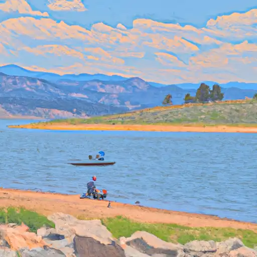
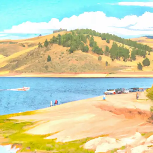
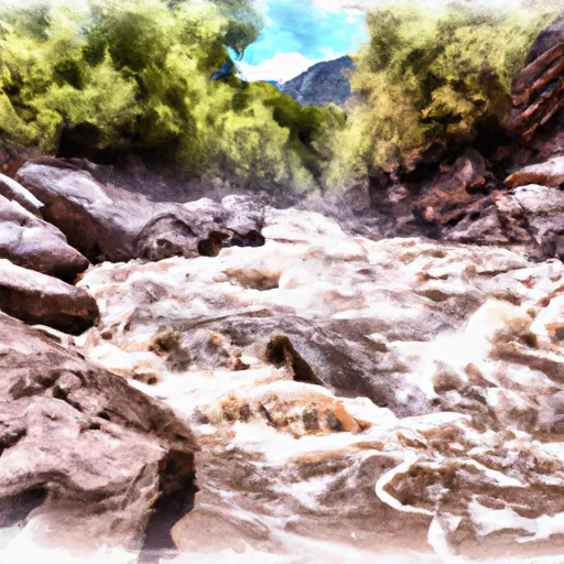
Fruit Growers Reservoir Near Orchard City Reservoir
As of July 20, 2026, Fruit Growers Reservoir Near Orchard City is holding 1,026 ac-ft of water — 19% of normal storage for this date. Storage data refreshed throughout the day.

Fruit Growers Reservoir Near Orchard City
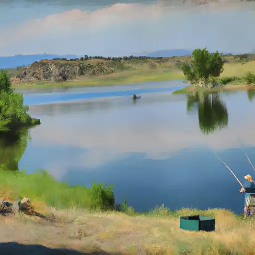
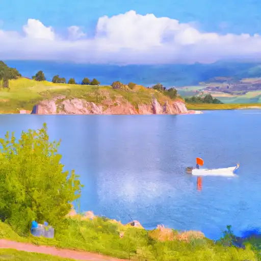
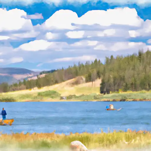
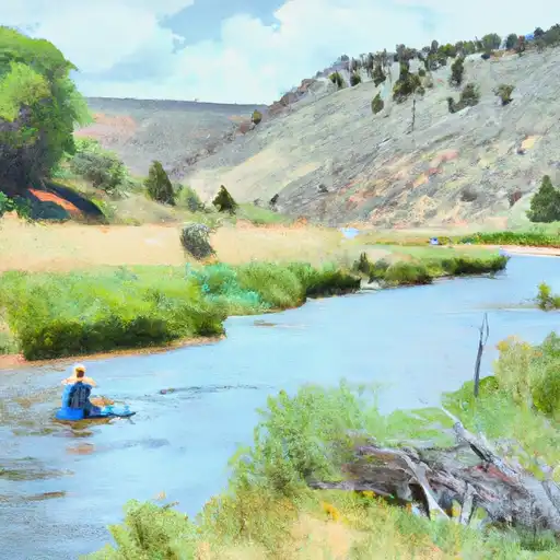
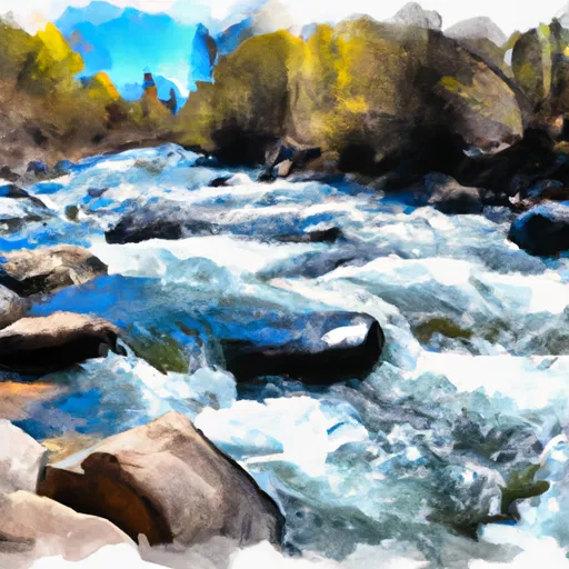
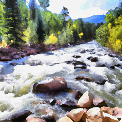
Fruit Growers Reservoir is a man-made lake located near Orchard City, Colorado. Constructed in 1913, the reservoir was initially used to irrigate fruit orchards in the area. The water source for the reservoir comes primarily from snowpack in the nearby mountains, as well as surface flow from the North Fork of the Gunnison River. The reservoir is managed by the Fruit Growers Reservoir Company, who is responsible for maintaining the water levels and ensuring the water is distributed to local farmers for irrigation. The area surrounding the reservoir is used for a variety of agricultural purposes, including growing fruit crops and raising livestock. Additionally, the reservoir is a popular spot for recreational activities such as fishing, camping, and boating.
Daily levels at Fruit Growers Reservoir Near Orchard City
Storage volume, pool elevation, and total release plotted from the operating agency's daily observations.
Reservoir storage, acre-ft
ac-ft · code 00054
Lake or reservoir water surface elevation above NGVD 1929, ft
ft · code 62614
Precipitation, total, in
in · code 00045
Plan around the weather
Same NOAA / yr.no feed Snoflo's iOS app uses. Watch the precipitation column on the meteogram -- rain on the basin upstream typically lifts inflow 24-72 hours later.
Next 5 days, hour by hour
Temperature line with weather symbols on top, snow + rain accumulation as columns, humidity as a dotted line.
5-day forecast table
Every 3 hours, broken out across temperature, snow, rain, humidity, and wind. Each cell is colour-coded relative to the column min/max.
| Time | Condition | Temp (°F) | Snow (in) | Rain (in) | Humidity (%) | Wind (mps) | Wind dir |
|---|---|---|---|---|---|---|---|
| Loading detailed forecast… | |||||||
15-day temperature & precipitation
Daily temperatures, snow, and rain projected over the next two weeks.
Nearby streamflow gauges
USGS streamgauges around Fruit Growers Reservoir Near Orchard City -- inflows here typically show up in storage 24-72 hours later.
| Streamgauge | Discharge | View |
|---|---|---|
| Surface Creek At Cedaredge | 16 cfs | → |
| North Fk Gunnison River Above Mouth Nr Lazear | 47 cfs | → |
| Gunnison River At Delta | 338 cfs | → |
| Uncompahgre River At Delta | 115 cfs | → |
| N.F. Gunnison R Blw Leroux Cr | 48 cfs | → |
| Surface Creek Near Cedaredge | 31 cfs | → |


About Fruit Growers Reservoir Near Orchard City
Where does the data for Fruit Growers Reservoir Near Orchard City come from?
Daily storage, pool elevation, and release rates are sourced from USGS, USBR, and USACE monitoring stations. Weather forecast comes from NOAA / yr.no -- the same feed Snoflo's iOS app uses.
How often is the report updated?
Storage observations are updated daily by the operating agency. The 15-day weather forecast refreshes throughout the day. Snoflo caches and renders the most recent observation -- check the "as of" timestamp on the storage card.
What does the Hazard hazard rating mean?
The Corps of Engineers' hazard potential classification grades probable consequences if the dam fails: High = probable loss of human life; Significant = no probable loss of human life but possible economic loss / environmental damage; Low = no probable loss of human life, only minor economic / environmental losses. See the Dam Data Reference card below for the full definitions.
What's "% of normal"?
The current storage value compared to the historical average storage on this calendar day. 100% = right on average; values above 100% mean above-normal storage (wet year); values below mean below-normal (dry year or drought).
Can I get alerts when storage crosses a threshold?
Yes -- alerts are managed in the Snoflo iOS app. Favorite this reservoir, set a threshold, and you'll get a push the moment conditions cross.