Homestake Reservoir Reservoir Report
Nearby: Ivanhoe Diemer Reservoir
Last Updated: February 21, 2026
Homestake Reservoir is a man-made reservoir located in Eagle County, Colorado.
Summary
Constructed in 1964, it has a capacity of 43,200 acre-feet and serves as a major water supply source for the cities of Aurora and Colorado Springs. The reservoir is fed by two primary streams, Homestake Creek and Whitney Creek, which are both snowmelt-fed. Additionally, the reservoir's hydrology is heavily influenced by the annual snowpack in the surrounding area. The area around Homestake Reservoir is primarily used for grazing, and there are several ranches in the surrounding hills. Additionally, the reservoir provides ample opportunities for outdoor activities such as fishing, boating, and hiking. Homestake Reservoir plays a critical role in the water infrastructure of Colorado, helping to provide clean, reliable water for millions of residents and businesses.
°F
°F
mph
Wind
%
Humidity
15-Day Weather Outlook
Reservoir Details
| Storage 24hr Change | 0.0% |
| Percent of Normal | 103% |
| Minimum |
0.048 acre-ft
2008-07-23 |
| Maximum |
374,386.998 acre-ft
2009-07-25 |
| Average | 36,761 acre-ft |
| Dam_Height | 231 |
| Hydraulic_Height | 231 |
| Drainage_Area | 7 |
| Years_Modified | 1996 - Other |
| Year_Completed | 1967 |
| Nid_Storage | 45500 |
| Structural_Height | 265 |
| Primary_Dam_Type | Rockfill |
| Foundations | Rock |
| Surface_Area | 333 |
| Outlet_Gates | Slide (sluice gate) - 1, Valve - 4 |
| River_Or_Stream | MIDDLE FORK HOMESTAKE |
| Dam_Length | 1996 |
| Hazard_Potential | High |
| Nid_Height | 265 |
Seasonal Comparison
Storage Levels
Storage Levels
5-Day Hourly Forecast Detail
Nearby Streamflow Levels
Dam Data Reference
Condition Assessment
SatisfactoryNo existing or potential dam safety deficiencies are recognized. Acceptable performance is expected under all loading conditions (static, hydrologic, seismic) in accordance with the minimum applicable state or federal regulatory criteria or tolerable risk guidelines.
Fair
No existing dam safety deficiencies are recognized for normal operating conditions. Rare or extreme hydrologic and/or seismic events may result in a dam safety deficiency. Risk may be in the range to take further action. Note: Rare or extreme event is defined by the regulatory agency based on their minimum
Poor A dam safety deficiency is recognized for normal operating conditions which may realistically occur. Remedial action is necessary. POOR may also be used when uncertainties exist as to critical analysis parameters which identify a potential dam safety deficiency. Investigations and studies are necessary.
Unsatisfactory
A dam safety deficiency is recognized that requires immediate or emergency remedial action for problem resolution.
Not Rated
The dam has not been inspected, is not under state or federal jurisdiction, or has been inspected but, for whatever reason, has not been rated.
Not Available
Dams for which the condition assessment is restricted to approved government users.
Hazard Potential Classification
HighDams assigned the high hazard potential classification are those where failure or mis-operation will probably cause loss of human life.
Significant
Dams assigned the significant hazard potential classification are those dams where failure or mis-operation results in no probable loss of human life but can cause economic loss, environment damage, disruption of lifeline facilities, or impact other concerns. Significant hazard potential classification dams are often located in predominantly rural or agricultural areas but could be in areas with population and significant infrastructure.
Low
Dams assigned the low hazard potential classification are those where failure or mis-operation results in no probable loss of human life and low economic and/or environmental losses. Losses are principally limited to the owner's property.
Undetermined
Dams for which a downstream hazard potential has not been designated or is not provided.
Not Available
Dams for which the downstream hazard potential is restricted to approved government users.
Area Campgrounds
| Location | Reservations | Toilets |
|---|---|---|
 Gold Park
|
||
 Gold Park Campground
|
||
 May Queen Campground
|
||
 Mayqueen
|
||
 Elk Wallow
|
||
 Tabor Campground
|

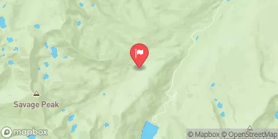
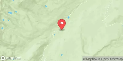
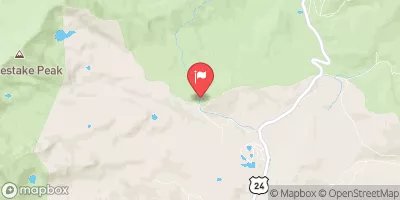
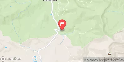
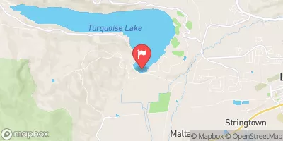
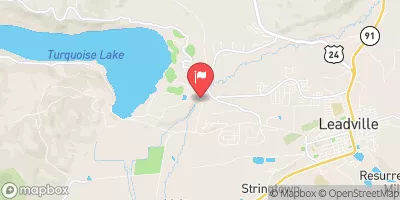
 Homestake Project
 Homestake Reservoir
 Turquoise Lake At Sugarloaf Dam Near Leadville Co
 Headwaters To Holy Cross Wilderness Boundary
 Arkansas River Segment 1
 Turquoise Lake
 Abe Lee Fishing Site
 Camp Hale Pond Fishing Pier
 Kiln Creek