Summary
The ramp is 16 feet wide and is suitable for launching small to medium-sized watercraft like kayaks, canoes, rafts, and drift boats. The GPS coordinates of the ramp are latitude: 39.85354129600006 and longitude: -106.64220660799998.
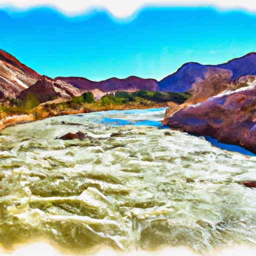
This boat ramp is located in Eagle County, Colorado, and is managed by the Colorado Parks and Wildlife Department. It is a popular spot for recreational activities like fishing, rafting, and kayaking. The Colorado River is known for its scenic beauty, abundant wildlife, and excellent fishing opportunities.
According to the latest information available, the State Bridge River Access boat ramp is open year-round, but access may be limited during the winter months due to snow and ice. Boaters are advised to check the current conditions and regulations before launching their craft. Additionally, all boaters are required to have proper safety equipment, permits, and licenses as required by Colorado state law.
°F
°F
mph
Wind
%
Humidity

 State Bridge River Access
 State Bridge Boat Ramp
 Two Bridges Boat Ramp
 Radium Rec Site Boat Ramp
 Wolcott Boat Ramp
 Catamount Bridge Boat Ramp
 State Bridge to Burns
 Colorado River Segment 6
 State Bridge to Two Bridges
 South Section Line Sec 34, T1N, R83W To Confluence With Decker Creek
 Pumphouse
 Colorado River Segment 5