Lemon Reservoir Near Durango Co Reservoir
As of July 20, 2026, Lemon Reservoir Near Durango Co is holding 18,900 ac-ft of water — 232% of normal storage for this date. Storage data refreshed throughout the day.

Lemon Reservoir Near Durango Co
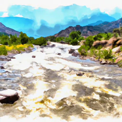
Lemon Reservoir is a man-made reservoir located near Durango, Colorado. The reservoir was constructed in 1963 and is named after a local rancher, John Lemon. The reservoir is fed by the Hermosa Creek, a tributary of the Animas River, and the hydrology of the region is influenced by snowpack from the San Juan Mountains. The surface flow of the reservoir is regulated by a dam, and the water is used for irrigation and municipal purposes. The snowpack also serves as a source of water for the reservoir, and the region's agriculture and recreational activities rely on this water source. Lemon Reservoir is popular for fishing and camping, and also serves as a source of drinking water for the town of Durango.
Daily levels at Lemon Reservoir Near Durango Co
Storage volume, pool elevation, and total release plotted from the operating agency's daily observations.
Reservoir storage, acre-ft
ac-ft · code 00054
Lake or reservoir water surface elevation above NGVD 1929, ft
ft · code 62614
Plan around the weather
Same NOAA / yr.no feed Snoflo's iOS app uses. Watch the precipitation column on the meteogram -- rain on the basin upstream typically lifts inflow 24-72 hours later.
Next 5 days, hour by hour
Temperature line with weather symbols on top, snow + rain accumulation as columns, humidity as a dotted line.
5-day forecast table
Every 3 hours, broken out across temperature, snow, rain, humidity, and wind. Each cell is colour-coded relative to the column min/max.
| Time | Condition | Temp (°F) | Snow (in) | Rain (in) | Humidity (%) | Wind (mps) | Wind dir |
|---|---|---|---|---|---|---|---|
| Loading detailed forecast… | |||||||
15-day temperature & precipitation
Daily temperatures, snow, and rain projected over the next two weeks.
Nearby streamflow gauges
USGS streamgauges around Lemon Reservoir Near Durango Co -- inflows here typically show up in storage 24-72 hours later.
| Streamgauge | Discharge | View |
|---|---|---|
| Vallecito Creek Near Bayfield | 34 cfs | → |
| Florida R Bl Flor Farmers Ditch | 9 cfs | → |
| Animas River At Durango | 217 cfs | → |
| Animas River Above Tacoma | 190 cfs | → |
| Animas River Blw Durango Pump Plant Nr Durango | 252 cfs | → |
| Los Pinos River Near Ignacio | 2 cfs | → |
Make a day of it
Boat launches, lakeside camping, fishing access, and other reservoirs near Lemon Reservoir Near Durango Co.
Boat launches
See all →


Campgrounds
See all →


Fishing spots
See all →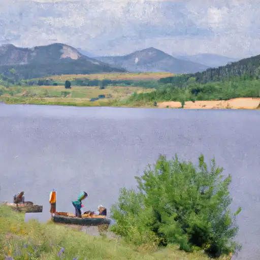


River runs
See all →


About Lemon Reservoir Near Durango Co
Where does the data for Lemon Reservoir Near Durango Co come from?
Daily storage, pool elevation, and release rates are sourced from USGS, USBR, and USACE monitoring stations. Weather forecast comes from NOAA / yr.no -- the same feed Snoflo's iOS app uses.
How often is the report updated?
Storage observations are updated daily by the operating agency. The 15-day weather forecast refreshes throughout the day. Snoflo caches and renders the most recent observation -- check the "as of" timestamp on the storage card.
What does the Hazard hazard rating mean?
The Corps of Engineers' hazard potential classification grades probable consequences if the dam fails: High = probable loss of human life; Significant = no probable loss of human life but possible economic loss / environmental damage; Low = no probable loss of human life, only minor economic / environmental losses. See the Dam Data Reference card below for the full definitions.
What's "% of normal"?
The current storage value compared to the historical average storage on this calendar day. 100% = right on average; values above 100% mean above-normal storage (wet year); values below mean below-normal (dry year or drought).
Can I get alerts when storage crosses a threshold?
Yes -- alerts are managed in the Snoflo iOS app. Favorite this reservoir, set a threshold, and you'll get a push the moment conditions cross.