Taylor Park Reservoir Reservoir Report
Nearby: Spring Creek
Last Updated: February 21, 2026
Taylor Park Reservoir is a popular recreational area located in Gunnison County, Colorado.
Summary
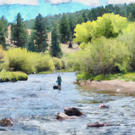
The reservoir was created in 1937 by the creation of the Taylor Park Dam which forms a 2,040-acre lake. The water from the reservoir is primarily used for irrigation for the nearby agricultural lands in the area, as well as to support recreational activities such as fishing, boating, and camping. The reservoir's hydrology is fed by both surface flows from the Taylor River as well as snowpack, which is supplied by the surrounding mountains. The reservoir is also used to store water for downstream use, particularly during dry periods. The area provides a vital habitat for fish and wildlife and is a popular destination for outdoor enthusiasts.
°F
°F
mph
Wind
%
Humidity
15-Day Weather Outlook
Reservoir Details
| Storage 24hr Change | -0.07% |
| Percent of Normal | 94% |
| Minimum |
17,401.811 acre-ft
1960-10-16 |
| Maximum |
109,340.109 acre-ft
1962-06-23 |
| Average | 64,425 acre-ft |
| Dam_Height | 161 |
| Hydraulic_Height | 158 |
| Drainage_Area | 254 |
| Year_Completed | 1937 |
| Nid_Storage | 118801 |
| Structural_Height | 206 |
| Primary_Dam_Type | Earth |
| Foundations | Rock |
| Surface_Area | 2159 |
| Outlet_Gates | Needle, Uncontrolled |
| River_Or_Stream | TAYLOR RIVER |
| Dam_Length | 675 |
| Hazard_Potential | High |
| Nid_Height | 206 |
Seasonal Comparison
Storage Levels
Storage Levels
Pool Elevation Levels
Total Release Levels
Inflow Levels
5-Day Hourly Forecast Detail
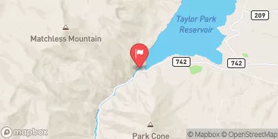
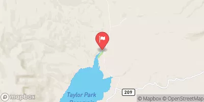
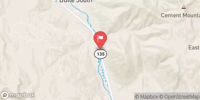
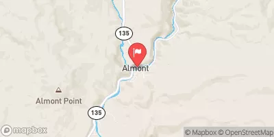
Nearby Streamflow Levels
Dam Data Reference
Condition Assessment
SatisfactoryNo existing or potential dam safety deficiencies are recognized. Acceptable performance is expected under all loading conditions (static, hydrologic, seismic) in accordance with the minimum applicable state or federal regulatory criteria or tolerable risk guidelines.
Fair
No existing dam safety deficiencies are recognized for normal operating conditions. Rare or extreme hydrologic and/or seismic events may result in a dam safety deficiency. Risk may be in the range to take further action. Note: Rare or extreme event is defined by the regulatory agency based on their minimum
Poor A dam safety deficiency is recognized for normal operating conditions which may realistically occur. Remedial action is necessary. POOR may also be used when uncertainties exist as to critical analysis parameters which identify a potential dam safety deficiency. Investigations and studies are necessary.
Unsatisfactory
A dam safety deficiency is recognized that requires immediate or emergency remedial action for problem resolution.
Not Rated
The dam has not been inspected, is not under state or federal jurisdiction, or has been inspected but, for whatever reason, has not been rated.
Not Available
Dams for which the condition assessment is restricted to approved government users.
Hazard Potential Classification
HighDams assigned the high hazard potential classification are those where failure or mis-operation will probably cause loss of human life.
Significant
Dams assigned the significant hazard potential classification are those dams where failure or mis-operation results in no probable loss of human life but can cause economic loss, environment damage, disruption of lifeline facilities, or impact other concerns. Significant hazard potential classification dams are often located in predominantly rural or agricultural areas but could be in areas with population and significant infrastructure.
Low
Dams assigned the low hazard potential classification are those where failure or mis-operation results in no probable loss of human life and low economic and/or environmental losses. Losses are principally limited to the owner's property.
Undetermined
Dams for which a downstream hazard potential has not been designated or is not provided.
Not Available
Dams for which the downstream hazard potential is restricted to approved government users.

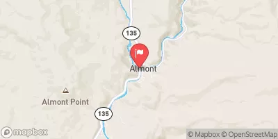
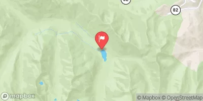
 Lakeview - Almont
 Lakeview Campground - Gunnison RD
 Lottis Creek
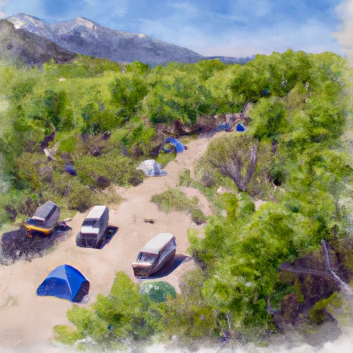 Lottis Creek Campground - Gunnison RD
 Rivers End Campground - Gunnison RD
 Rivers End
 Taylor Park
 Taylor Park Reservoir
 Taylor Park Reservoir At Taylor Park
 Boat Dock Road Gunnison County
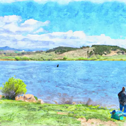 Spring Creek Reservoir
 South Fork Clear Creek
 Mirror Lake (Almont)