
Caples Lake (Eid) Reservoir Report
Nearby: Caples Lake Auxiliary Crater Lake
Last Updated: January 2, 2026
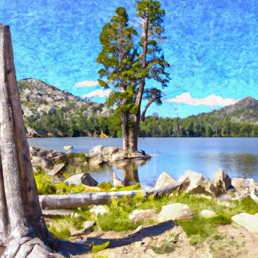
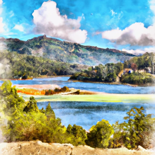
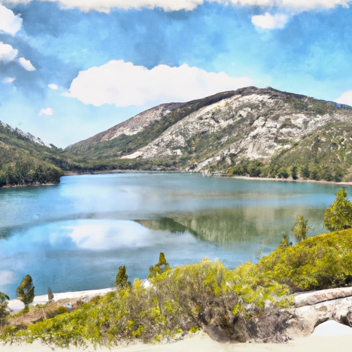
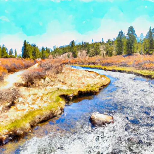
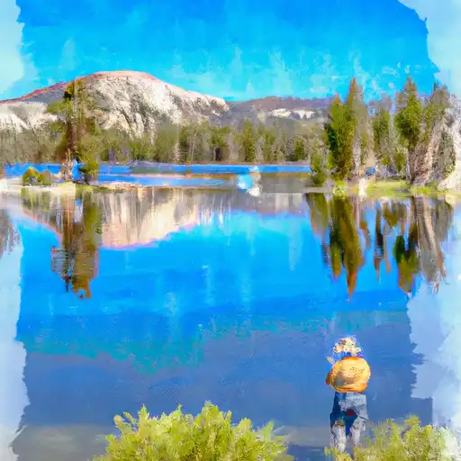
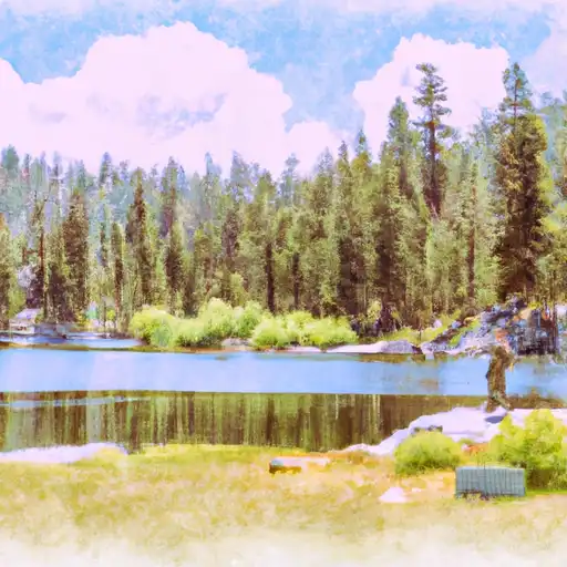
Caples Lake is a reservoir in California formed by a dam on the Silver Creek.
°F
°F
mph
Wind
%
Humidity
Summary
It was created in 1964 for hydroelectricity, flood control, and recreational purposes. The lake is managed by the El Dorado Irrigation District (EID), which also provides water for agricultural and domestic use. The watershed of Caples Lake lies in the Sierra Nevada Mountains, and snowpack is the primary source of surface water. The lake is a popular destination for fishing, boating, camping, and hiking. It also provides habitat for several species of fish, including rainbow trout and brown trout. Caples Lake and its surrounding area were historically used by Native Americans for hunting and fishing. In the mid-1800s, it became a popular destination for gold miners.
Reservoir Details
| Storage 24hr Change | -0.06% |
| Percent of Normal | 162% |
| Minimum |
758.0 acre-ft
2008-10-29 |
| Maximum |
22,466.0 acre-ft
2011-07-08 |
| Average | 13,561 acre-ft |
| Nid_Height | 86 |
| Hydraulic_Height | 62 |
| Primary_Dam_Type | Earth |
| Drainage_Area | 13.5 |
| Year_Completed | 1923 |
| Dam_Height | 86 |
| Structural_Height | 65.5 |
| River_Or_Stream | Caples Creek |
| Surface_Area | 600 |
| Hazard_Potential | High |
| Nid_Storage | 22338 |
| Dam_Length | 1200 |
Seasonal Comparison
Storage Levels
Pool Elevation Levels
Top Conserv Storage Levels
Inflow Levels
Weather Forecast
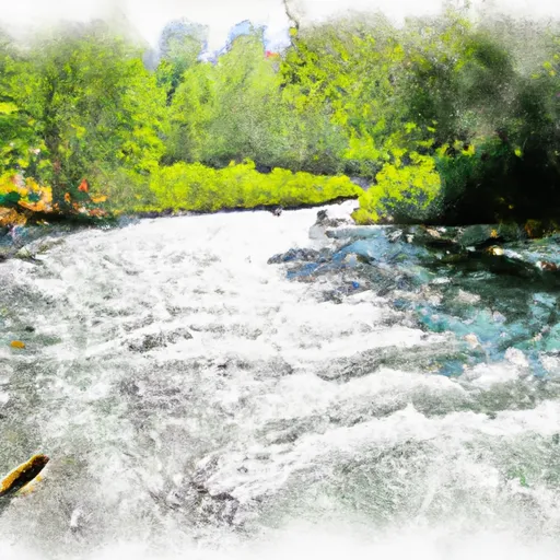
Nearby Streamflow Levels

Dam Data Reference
Condition Assessment
SatisfactoryNo existing or potential dam safety deficiencies are recognized. Acceptable performance is expected under all loading conditions (static, hydrologic, seismic) in accordance with the minimum applicable state or federal regulatory criteria or tolerable risk guidelines.
Fair
No existing dam safety deficiencies are recognized for normal operating conditions. Rare or extreme hydrologic and/or seismic events may result in a dam safety deficiency. Risk may be in the range to take further action. Note: Rare or extreme event is defined by the regulatory agency based on their minimum
Poor A dam safety deficiency is recognized for normal operating conditions which may realistically occur. Remedial action is necessary. POOR may also be used when uncertainties exist as to critical analysis parameters which identify a potential dam safety deficiency. Investigations and studies are necessary.
Unsatisfactory
A dam safety deficiency is recognized that requires immediate or emergency remedial action for problem resolution.
Not Rated
The dam has not been inspected, is not under state or federal jurisdiction, or has been inspected but, for whatever reason, has not been rated.
Not Available
Dams for which the condition assessment is restricted to approved government users.
Hazard Potential Classification
HighDams assigned the high hazard potential classification are those where failure or mis-operation will probably cause loss of human life.
Significant
Dams assigned the significant hazard potential classification are those dams where failure or mis-operation results in no probable loss of human life but can cause economic loss, environment damage, disruption of lifeline facilities, or impact other concerns. Significant hazard potential classification dams are often located in predominantly rural or agricultural areas but could be in areas with population and significant infrastructure.
Low
Dams assigned the low hazard potential classification are those where failure or mis-operation results in no probable loss of human life and low economic and/or environmental losses. Losses are principally limited to the owner's property.
Undetermined
Dams for which a downstream hazard potential has not been designated or is not provided.
Not Available
Dams for which the downstream hazard potential is restricted to approved government users.
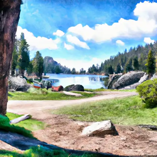
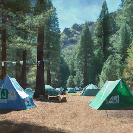
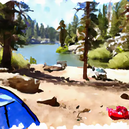
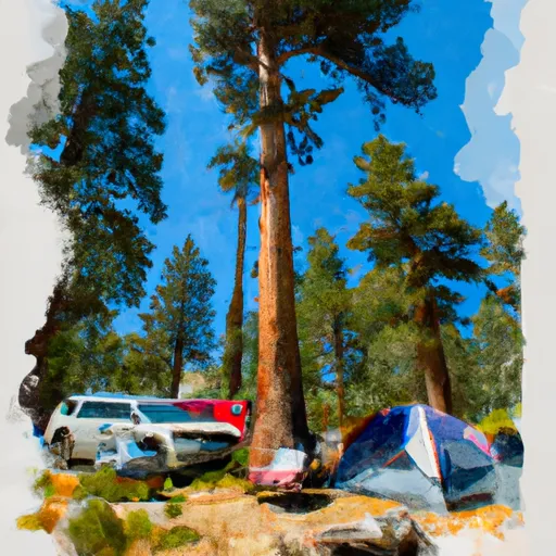
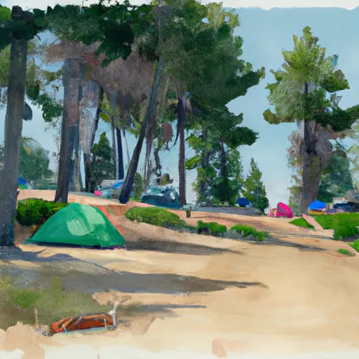
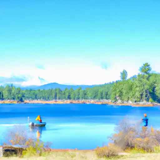
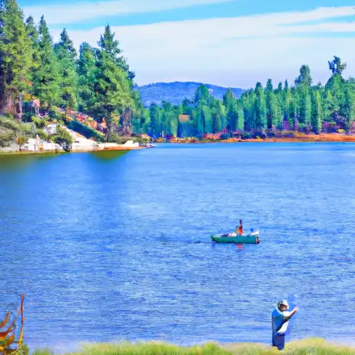
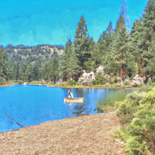
Area Campgrounds
| Location | Reservations | Toilets |
|---|---|---|
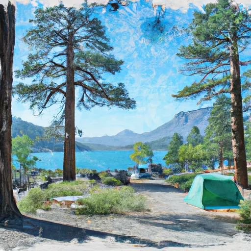 Caples Lake Campground
|
||
 Caples Lake
|
||
 Two Sentinels Girl Scout Camp
|
||
 Kirkwood Lake
|
||
 Kirkwood Campground
|
||
 Woods Lake Campground
|
 Caples Lake Main
 Caples Lake (Eid)
 Silver Lake Reservoir
 Echo Lake
River Runs
-
 Headwaters In Sec 15,T10N, R17E To Confluence With Silver Fork Of American River
-
 Headwaters In Sec 2, T9N, R18E To Confluence With Mokelumne River
-
 Headwaters To South Of Upper Truckee Road (Sec Line Between 17/20 Intercepts River And Unnamed Tributary)
-
 Headwaters In Sec 7, T11N, R18E To Blair Bridge
-
 State Highway 50 To 1/4 Mile North Of State Highway 50
-
 1/4 Mile North Of State Highway 50 To Avalanche Lake
 Silver Lake (Kirkwood)
 Blue Lakes
 Evergreen Lake
 Lower Blue Lake
 Angora Lakes