
Mojave River Dam Reservoir Report
Last Updated: December 22, 2025
The Mojave River Dam, located in Victorville, California, was completed in 1971 and serves as a crucial flood risk reduction structure along the West Fork Mojave River.
°F
°F
mph
Wind
%
Humidity
Summary
Owned and operated by the US Army Corps of Engineers, the dam has a height of 200 feet and a storage capacity of 179,400 acre-feet. Despite its important role in reducing flooding to downstream communities, a 2018 risk assessment classified the dam as "High" risk due to the potential for significant rainfall events to overwhelm the spillway and cause downstream flooding.
In the event of an extreme rainfall event, the dam could face erosion and breach, leading to devastating flooding in communities downstream such as Hesperia, Apple Valley, and Victorville. To manage this risk, the US Army Corps of Engineers is closely monitoring weather forecasts, conducting emergency exercises, and implementing temporary measures to reduce the risk of water flowing over the dam. Additionally, efforts are underway to engage with local communities and schools to enhance flood preparedness and response measures in the event of a breach or significant flooding event.
With the potential for rapid rise in water levels due to local topography and intense storms in the region, it is crucial for residents and authorities in downstream communities to be aware of the risks associated with the Mojave River Dam and take proactive measures for flood preparedness. By working together with federal, state, and local partners, the US Army Corps of Engineers is striving to ensure the safety and resilience of communities along the Mojave River in the face of potential flood events.
Year Completed |
1971 |
Dam Length |
2200 |
Dam Height |
200 |
River Or Stream |
WEST FORK MOJAVE RIVER |
Primary Dam Type |
Earth |
Surface Area |
1 |
Hydraulic Height |
193 |
Drainage Area |
215 |
Nid Storage |
179400 |
Outlet Gates |
None - 0 |
Hazard Potential |
High |
Nid Height |
200 |
Seasonal Comparison
Weather Forecast
Nearby Streamflow Levels
Dam Data Reference
Condition Assessment
SatisfactoryNo existing or potential dam safety deficiencies are recognized. Acceptable performance is expected under all loading conditions (static, hydrologic, seismic) in accordance with the minimum applicable state or federal regulatory criteria or tolerable risk guidelines.
Fair
No existing dam safety deficiencies are recognized for normal operating conditions. Rare or extreme hydrologic and/or seismic events may result in a dam safety deficiency. Risk may be in the range to take further action. Note: Rare or extreme event is defined by the regulatory agency based on their minimum
Poor A dam safety deficiency is recognized for normal operating conditions which may realistically occur. Remedial action is necessary. POOR may also be used when uncertainties exist as to critical analysis parameters which identify a potential dam safety deficiency. Investigations and studies are necessary.
Unsatisfactory
A dam safety deficiency is recognized that requires immediate or emergency remedial action for problem resolution.
Not Rated
The dam has not been inspected, is not under state or federal jurisdiction, or has been inspected but, for whatever reason, has not been rated.
Not Available
Dams for which the condition assessment is restricted to approved government users.
Hazard Potential Classification
HighDams assigned the high hazard potential classification are those where failure or mis-operation will probably cause loss of human life.
Significant
Dams assigned the significant hazard potential classification are those dams where failure or mis-operation results in no probable loss of human life but can cause economic loss, environment damage, disruption of lifeline facilities, or impact other concerns. Significant hazard potential classification dams are often located in predominantly rural or agricultural areas but could be in areas with population and significant infrastructure.
Low
Dams assigned the low hazard potential classification are those where failure or mis-operation results in no probable loss of human life and low economic and/or environmental losses. Losses are principally limited to the owner's property.
Undetermined
Dams for which a downstream hazard potential has not been designated or is not provided.
Not Available
Dams for which the downstream hazard potential is restricted to approved government users.
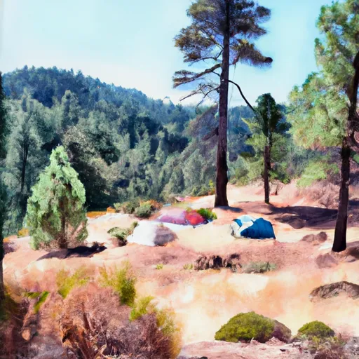
 Mojave River Forks Regional Park
 Hesperia Lake Park
 North Shore Family Campground
 North Shore Campground
 Silverwood Lake State Rec Area
 Camp Seely
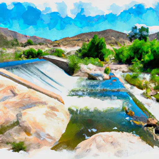
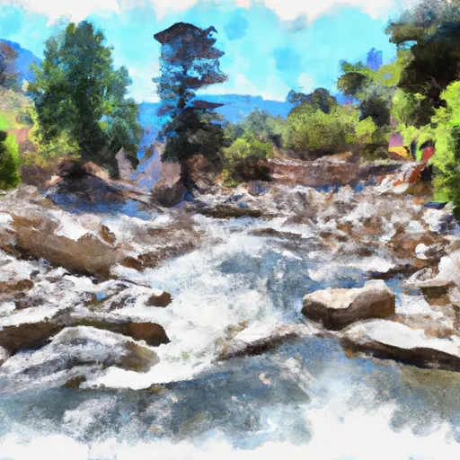
 Mojave River Dam
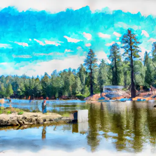
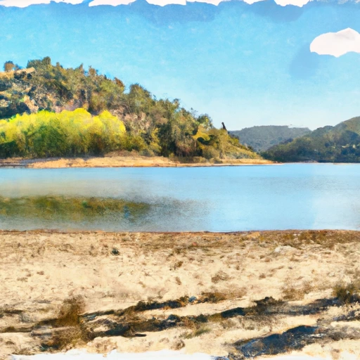 Lake Silverwood
 Below 2W01 Crossing To Mojave Reservoir
 Below Deep Creek Lake To Below 2W01 Crossing
 Nfsr 3N16 To Confluence With Deep Creek
 Lake Gregory
 Lake Gregory County Regional Park
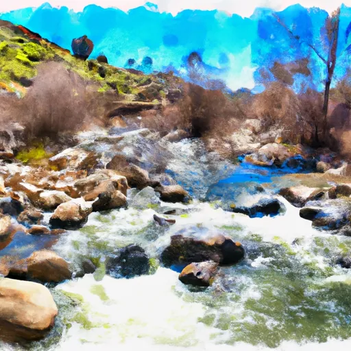
 Deep Creek
 Silverwood Lake State Recreation Area
 Green Valley Lake