


Bonneville Locks and Dam
Reservoir Levels • Weather • Hydrology
Bonneville Locks and Dam, located on the Columbia River in Oregon, is a federal structure owned and operated by the US Army Corps of Engineers. Completed in 1938, this gravity dam serves primarily for navigation purposes, with hydroelectric power generation, recreation, and other functions also in play. The dam stands at a height of 197 feet and stretches 2,477 feet in length, with a spillway width of 1,450 feet. It features two locks, each 675 feet long and 85 feet wide, facilitating the passage of vessels along the river.
With a very high risk assessment due to the inherent hazards associated with dam operations, the US Army Corps of Engineers diligently manages flood risks at Bonneville Locks and Dam. This entails ongoing monitoring of the dam's condition, prioritizing risk-reducing activities, and engaging with local emergency managers and the public to ensure readiness for any potential emergencies. Regular maintenance and repairs are conducted to ensure the dam's structural integrity and functionality. These efforts underscore the importance of proactive risk management and preparedness in safeguarding the surrounding communities and the environment from potential dam-related emergencies.
May 21, 2024
°F
°F
mph
Windspeed
%
Humidity
| Year_Completed | 1938 |
| Dam_Height | 56 |
| River_Or_Stream | COLUMBIA RIVER |
| Dam_Length | 2477 |
| Primary_Dam_Type | Gravity |
| Surface_Area | 20600 |
| Length_Of_Locks | 675 |
| Hydraulic_Height | 50 |
| Drainage_Area | 240000 |
| Nid_Storage | 537000 |
| Structural_Height | 197 |
| Hazard_Potential | High |
| Foundations | Rock |
| Nid_Height | 197 |
Explore the Interactive Map
View recreational hotspots like fishing, camping, and parks, alongside climate-related data such as river levels, snowpack, and weather forecasts. Enjoy 3D mapping for an immersive experience, and switch to satellite view for a detailed look at your favorite spots. Simply click, explore, and discover nature like never before!

Fishing Areas
You Might Like
Explore Nearby Places
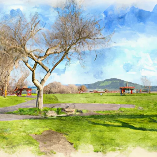
Amboy Park is a beautiful recreation area located in Clark County, Washington. The park offers visitors a range of activities, including hiking, picnicking, and fishing, making it an ideal destination for families and outdoor enthusiasts. One of the main points of interest in Amboy Park is its network of hiking trails. The park boasts over five miles of trails that wind through old-growth forests, along creeks, and up to stunning viewpoints. Visitors can also explore the park's wetlands and grasslands, which are home to a variety of wildlife, including deer, coyotes, and bald eagles. Another popular attraction in Amboy Park ...