
New Fork Lake Reservoir Report
Nearby: Black Butte Blatt Lake
Last Updated: March 31, 2026
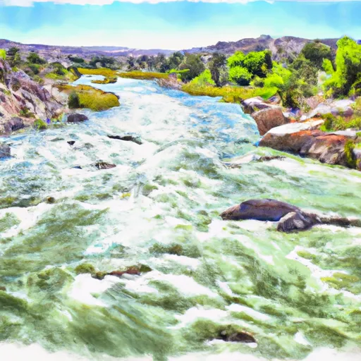
New Fork Lake in Sublette, Wyoming, is a privately owned reservoir built in 1925 primarily for irrigation purposes.
Summary
The dam, standing at 37 feet high and with a storage capacity of 25,700 acre-feet, is located on the West Fork of the New Fork River. The lake covers a surface area of 1,416 acres and has a drainage area of 31.9 square miles.
With a spillway width of 60 feet and a maximum discharge of 2,260 cubic feet per second, New Fork Lake is equipped to handle high hazard potential. The dam features an uncontrolled spillway and outlet gates, including slide gates and uncontrolled outlets. Regular inspections are conducted, with the last assessment done in August 2020, and the dam is regulated, permitted, and inspected by the Wyoming State Engineer's Office. Despite being privately owned, the dam is subject to state jurisdiction and enforcement.
New Fork Lake provides a vital water resource for irrigation in the region, serving as a key component of the local water infrastructure. Its strategic location in the West Fork of the New Fork River contributes to the overall water management system in the area. Enthusiasts interested in water resources and climate would find New Fork Lake a fascinating example of human-engineered infrastructure interacting with natural hydrological processes in the Wyoming landscape.
°F
°F
mph
Wind
%
Humidity
15-Day Weather Outlook
Year Completed |
1925 |
Dam Length |
250 |
Dam Height |
37 |
River Or Stream |
WEST FORK OF NEW FORK RIVER |
Primary Dam Type |
Earth |
Surface Area |
1416 |
Hydraulic Height |
31 |
Drainage Area |
31.9 |
Nid Storage |
25700 |
Structural Height |
37 |
Outlet Gates |
Slide (sluice gate), Uncontrolled |
Hazard Potential |
High |
Foundations |
Soil |
Nid Height |
37 |
Seasonal Comparison
5-Day Hourly Forecast Detail
Nearby Streamflow Levels
 Green River At Warren Bridge
|
485cfs |
 Pine Creek Above Fremont Lake
|
131cfs |
 Dinwoody Creek Above Lakes
|
60cfs |
 Wind River Above Red Creek
|
725cfs |
 Wind River Near Dubois
|
212cfs |
 New Fork River Near Big Piney
|
270cfs |
Dam Data Reference
Condition Assessment
SatisfactoryNo existing or potential dam safety deficiencies are recognized. Acceptable performance is expected under all loading conditions (static, hydrologic, seismic) in accordance with the minimum applicable state or federal regulatory criteria or tolerable risk guidelines.
Fair
No existing dam safety deficiencies are recognized for normal operating conditions. Rare or extreme hydrologic and/or seismic events may result in a dam safety deficiency. Risk may be in the range to take further action. Note: Rare or extreme event is defined by the regulatory agency based on their minimum
Poor A dam safety deficiency is recognized for normal operating conditions which may realistically occur. Remedial action is necessary. POOR may also be used when uncertainties exist as to critical analysis parameters which identify a potential dam safety deficiency. Investigations and studies are necessary.
Unsatisfactory
A dam safety deficiency is recognized that requires immediate or emergency remedial action for problem resolution.
Not Rated
The dam has not been inspected, is not under state or federal jurisdiction, or has been inspected but, for whatever reason, has not been rated.
Not Available
Dams for which the condition assessment is restricted to approved government users.
Hazard Potential Classification
HighDams assigned the high hazard potential classification are those where failure or mis-operation will probably cause loss of human life.
Significant
Dams assigned the significant hazard potential classification are those dams where failure or mis-operation results in no probable loss of human life but can cause economic loss, environment damage, disruption of lifeline facilities, or impact other concerns. Significant hazard potential classification dams are often located in predominantly rural or agricultural areas but could be in areas with population and significant infrastructure.
Low
Dams assigned the low hazard potential classification are those where failure or mis-operation results in no probable loss of human life and low economic and/or environmental losses. Losses are principally limited to the owner's property.
Undetermined
Dams for which a downstream hazard potential has not been designated or is not provided.
Not Available
Dams for which the downstream hazard potential is restricted to approved government users.
Area Campgrounds
| Location | Reservations | Toilets |
|---|---|---|
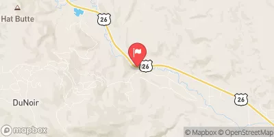
 New Fork Lake
|
||
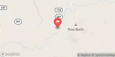
 New Fork Group Campground
|
||
 New Fork Lake Campground
|
||
 Camp New Fork
|
||
 The Narrows Campground
|
||
 Green River Access Site 9 Campsite 1
|
 New Fork Lake
 Green River Access Site 12 Boat Ramp
 Green River Access Site 8 Boat Launch
 Green River Access Site 6 Boat Launch
 Green River Access Site 5 Boat Ramp
 Green River Access Site 3 Boat Launch
 Green River Access Site 2 Boat Launch
 Green River