Willow Lake Dam

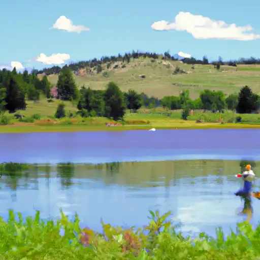
Willow Lake
Willow Lake, located in Sublette, Wyoming, is a privately owned irrigation reservoir built in 1955 by designer John A. Whexing. The dam, primarily used for irrigation purposes, stands at a height of 20 feet and has a storage capacity of 32,125 acre-feet. It is situated on Lake Creek, approximately 22 miles from Boulder, within the Sacramento District of the US Army Corps of Engineers.
Despite its crucial role in providing water for irrigation, fire protection, stock, and small fish ponds, Willow Lake poses a significant hazard potential due to its poor condition assessment. The dam's emergency action plan (EAP) status and risk management measures are currently unknown, raising concerns about its ability to withstand potential disasters. With a very high risk rating, stakeholders must prioritize the maintenance and inspection of this vital water resource to ensure public safety and prevent potential environmental impacts.
Water resource and climate enthusiasts should closely monitor Willow Lake's condition, as its structural integrity and risk level require urgent attention. With its historical significance dating back to 1955, efforts must be made to improve the dam's condition assessment and emergency preparedness. Collaborative actions among relevant agencies and stakeholders are essential to mitigate risks and safeguard this critical water source in Sublette, Wyoming.
Plan around the weather
Same NOAA / yr.no feed Snoflo's iOS app uses. Watch the precipitation column on the meteogram -- rain on the basin upstream typically lifts inflow 24-72 hours later.
Next 5 days, hour by hour
Temperature line with weather symbols on top, snow + rain accumulation as columns, humidity as a dotted line.
5-day forecast table
Every 3 hours, broken out across temperature, snow, rain, humidity, and wind. Each cell is colour-coded relative to the column min/max.
| Time | Condition | Temp (°F) | Snow (in) | Rain (in) | Humidity (%) | Wind (mps) | Wind dir |
|---|---|---|---|---|---|---|---|
| Loading detailed forecast… | |||||||
15-day temperature & precipitation
Daily temperatures, snow, and rain projected over the next two weeks.
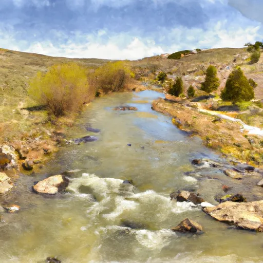
Nearby streamflow gauges
USGS streamgauges around Willow Lake -- inflows here typically show up in storage 24-72 hours later.
| Streamgauge | Discharge | View |
|---|---|---|
| Pine Creek Above Fremont Lake | 275 cfs | → |
| Green River At Warren Bridge | 822 cfs | → |
| New Fork River Near Big Piney | 727 cfs | → |
| Dinwoody Creek Above Lakes | 547 cfs | → |
| Bull Lake Creek Above Bull Lake | 834 cfs | → |
| Wind River Above Red Creek | 1,320 cfs | → |


About Willow Lake
Where does the data for Willow Lake come from?
Structural and regulatory data come from the U.S. Army Corps of Engineers' National Inventory of Dams (NID). Weather forecast comes from NOAA / yr.no -- the same feed Snoflo's iOS app uses.
How often is the report updated?
NID structural data refreshes annually as the Corps publishes updated assessments. The weather forecast refreshes throughout the day.
What does the Significant hazard rating mean?
The Corps of Engineers' hazard potential classification grades probable consequences if the dam fails: High = probable loss of human life; Significant = no probable loss of human life but possible economic loss / environmental damage; Low = no probable loss of human life, only minor economic / environmental losses. See the Dam Data Reference card below for the full definitions.
What's "% of normal"?
The current storage value compared to the historical average storage on this calendar day. 100% = right on average; values above 100% mean above-normal storage (wet year); values below mean below-normal (dry year or drought).
Can I get alerts when storage crosses a threshold?
Yes -- alerts are managed in the Snoflo iOS app. Favorite this dam, set a threshold, and you'll get a push the moment conditions cross.
Dam data reference
Condition Assessment
- Satisfactory
- No existing or potential dam safety deficiencies are recognized. Acceptable performance is expected under all loading conditions (static, hydrologic, seismic) in accordance with the minimum applicable state or federal regulatory criteria or tolerable risk guidelines.
- Fair
- No existing dam safety deficiencies are recognized for normal operating conditions. Rare or extreme hydrologic and/or seismic events may result in a dam safety deficiency. Risk may be in the range to take further action.
- Poor
- A dam safety deficiency is recognized for normal operating conditions which may realistically occur. Remedial action is necessary. POOR may also be used when uncertainties exist as to critical analysis parameters which identify a potential dam safety deficiency.
- Unsatisfactory
- A dam safety deficiency is recognized that requires immediate or emergency remedial action for problem resolution.
- Not Rated
- The dam has not been inspected, is not under state or federal jurisdiction, or has been inspected but, for whatever reason, has not been rated.
Hazard Potential Classification
- High
- Dams assigned the high hazard potential classification are those where failure or mis-operation will probably cause loss of human life.
- Significant
- Dams assigned the significant hazard potential classification are those dams where failure or mis-operation results in no probable loss of human life but can cause economic loss, environmental damage, disruption of lifeline facilities, or impact other concerns. Significant hazard potential classification dams are often located in predominantly rural or agricultural areas but could be in areas with population and significant infrastructure.
- Low
- Dams assigned the low hazard potential classification are those where failure or mis-operation results in no probable loss of human life and low economic and/or environmental losses. Losses are principally limited to the owner's property.
- Undetermined
- Dams for which a downstream hazard potential has not been designated or is not provided.